
-EXPLORE OUR ARCHIVE-
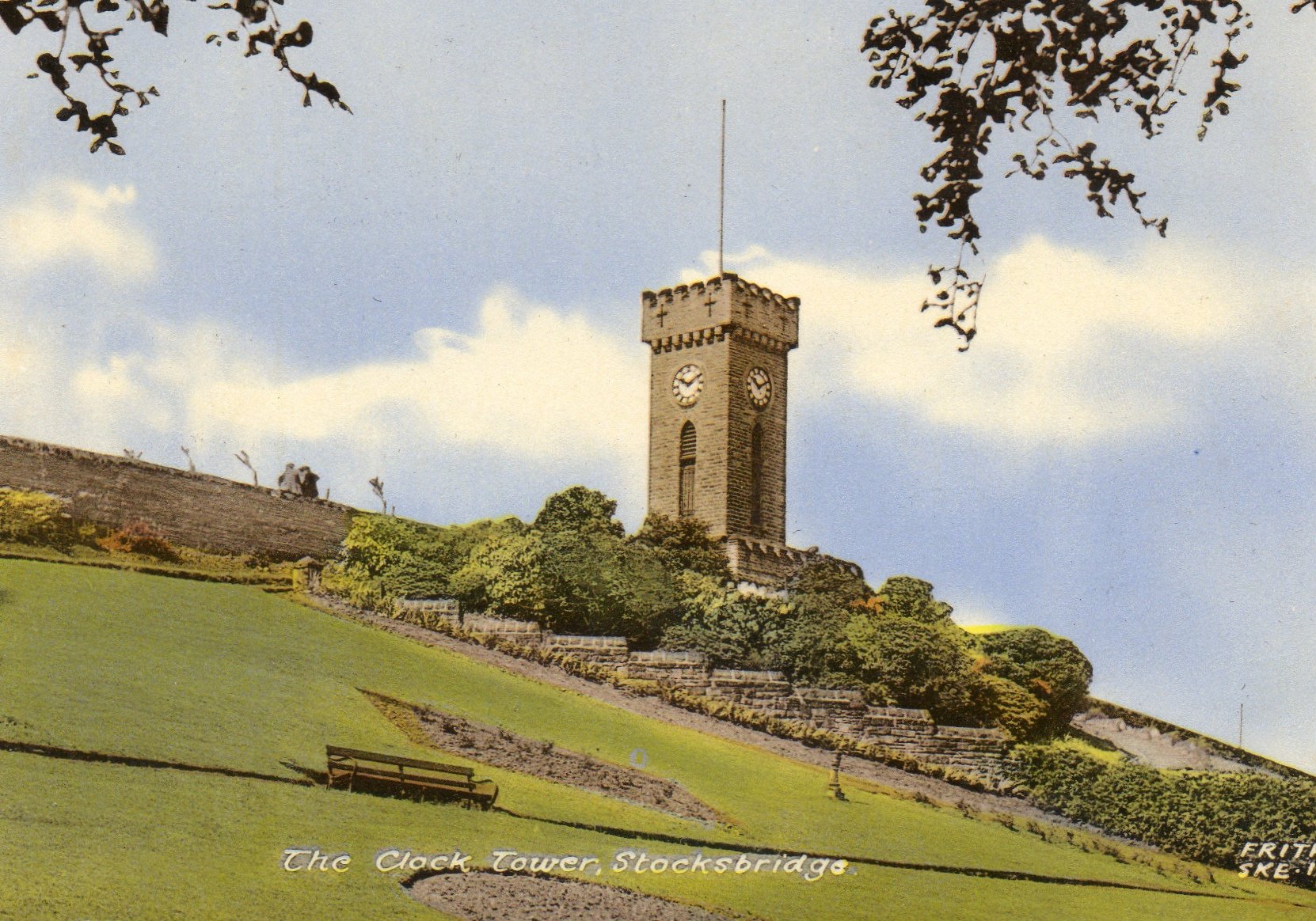
Stocksbridge Area
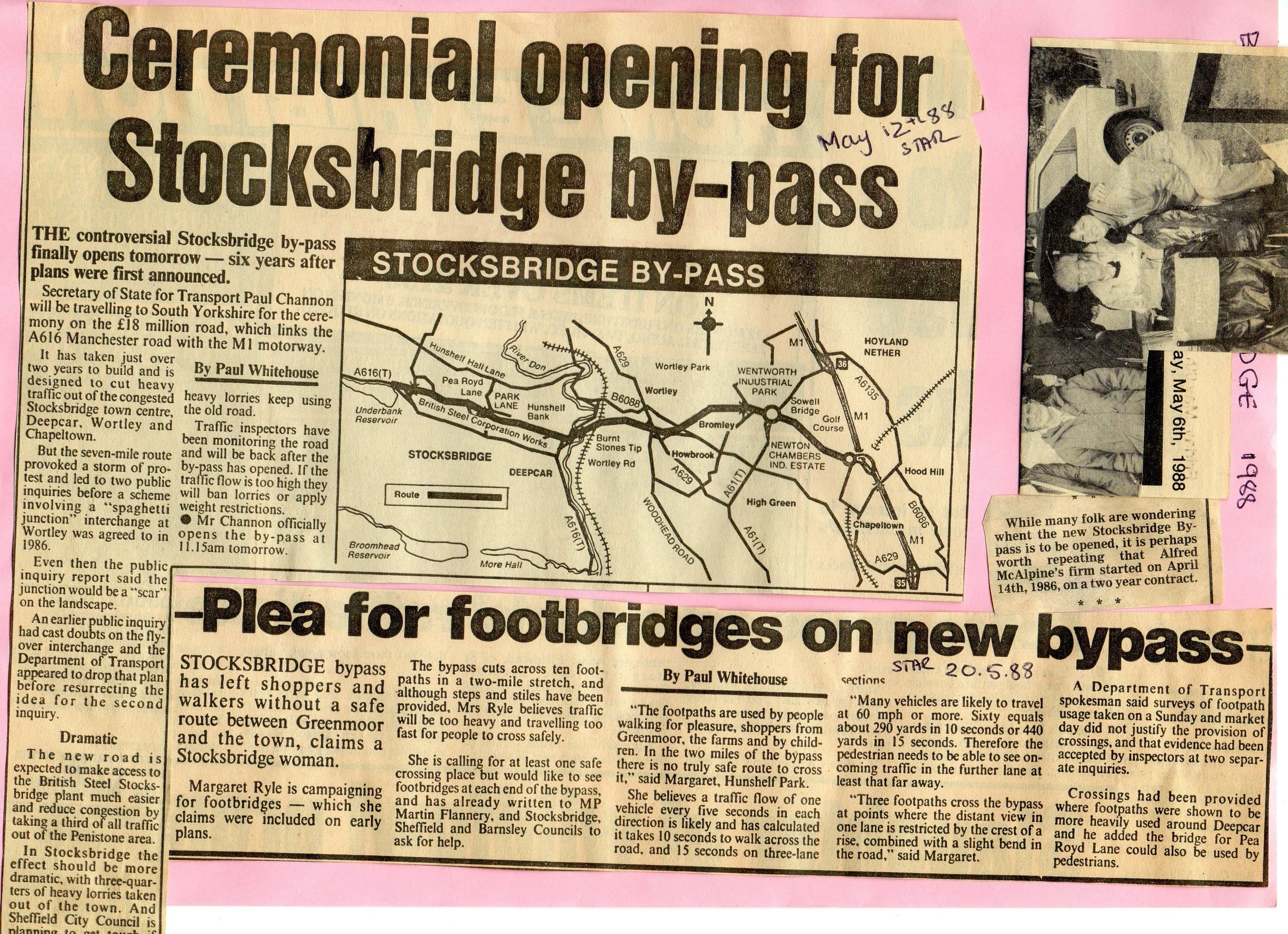
Stocksbridge Bypass
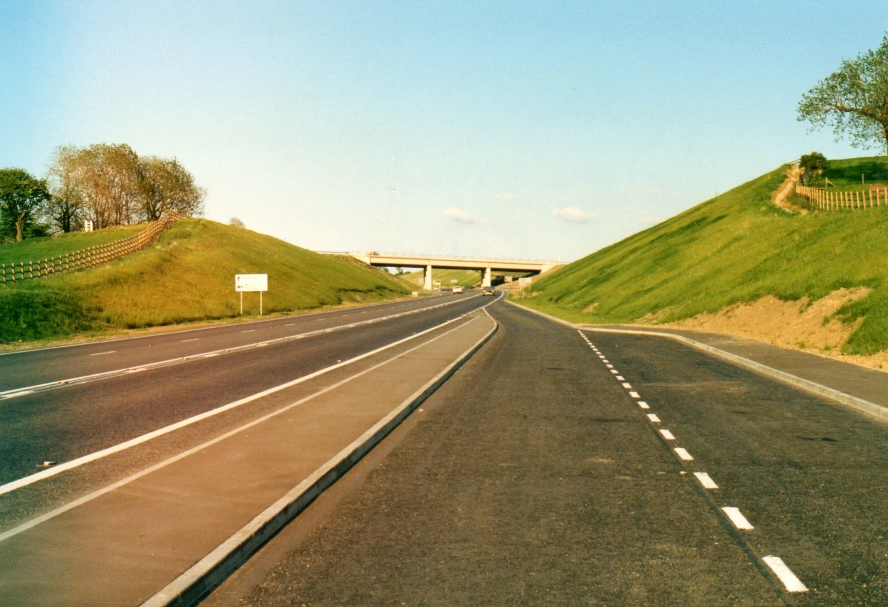
The Stocksbridge Bypass: A Photographic Archive
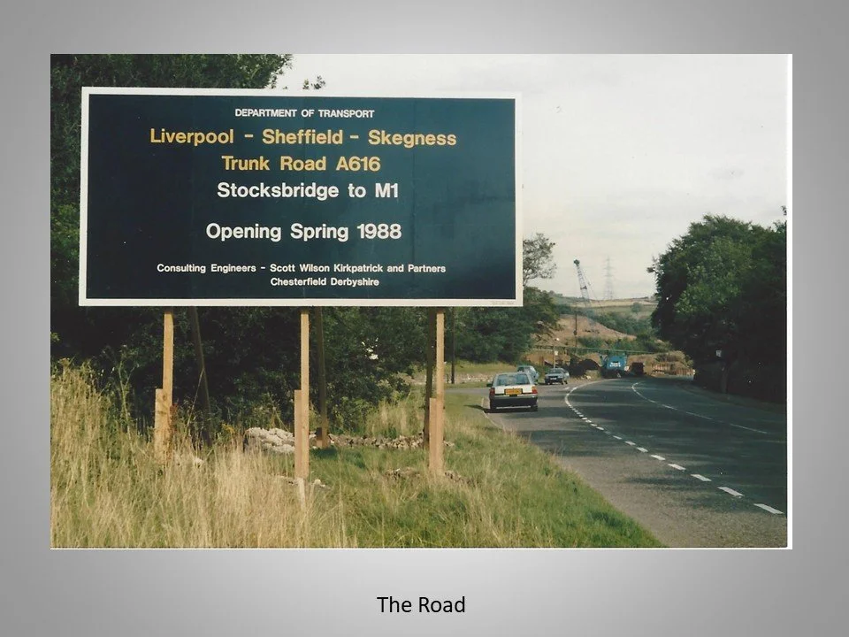
A visual record of the massive Stocksbridge Bypass construction project—the A616 Trunk Road connecting Stocksbridge to the M1, built by Alfred McAlpine and opened in 1988.
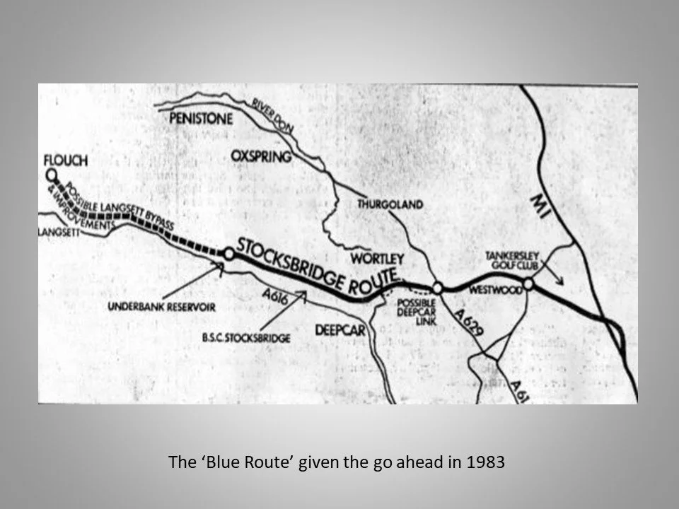
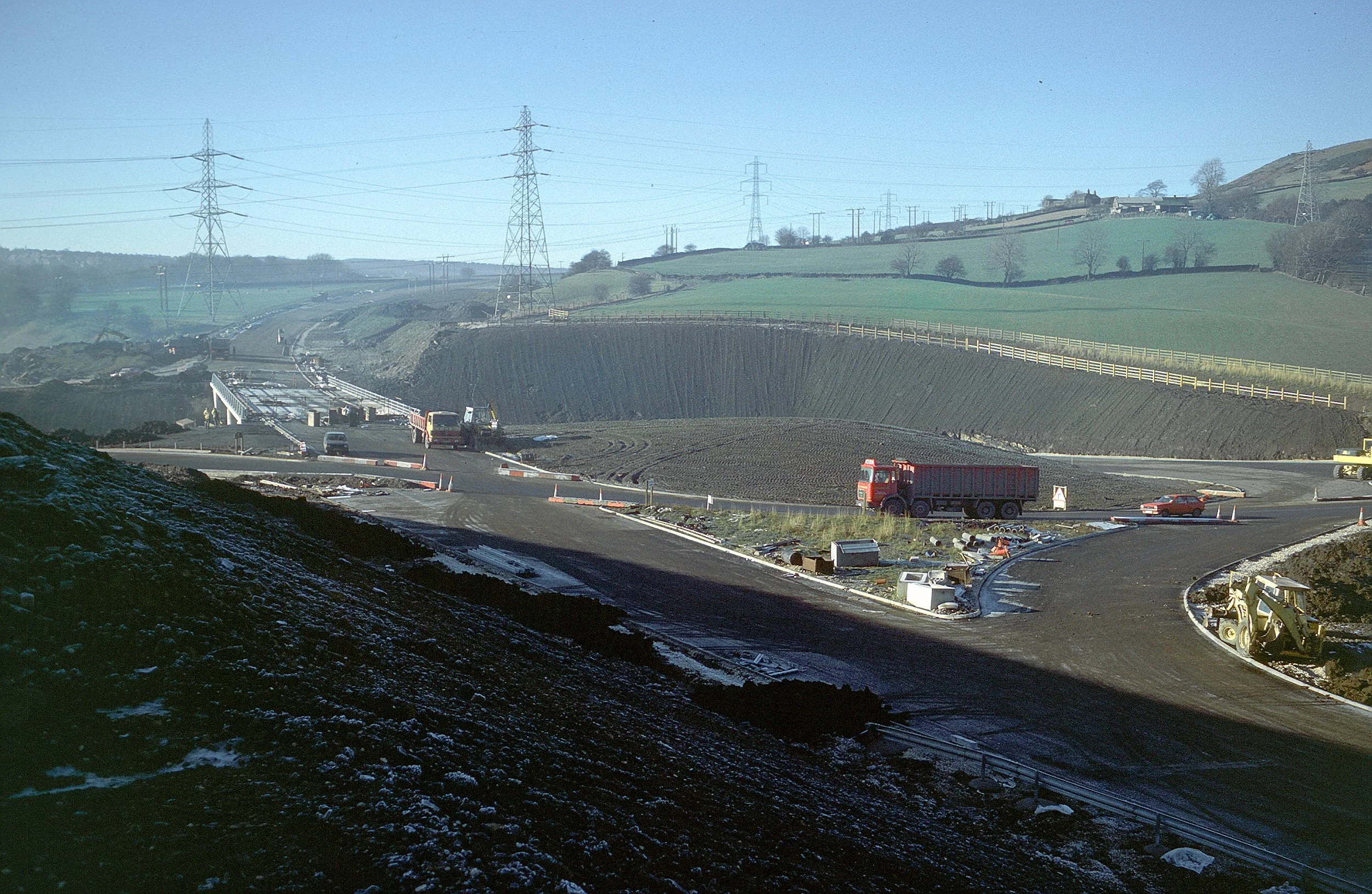
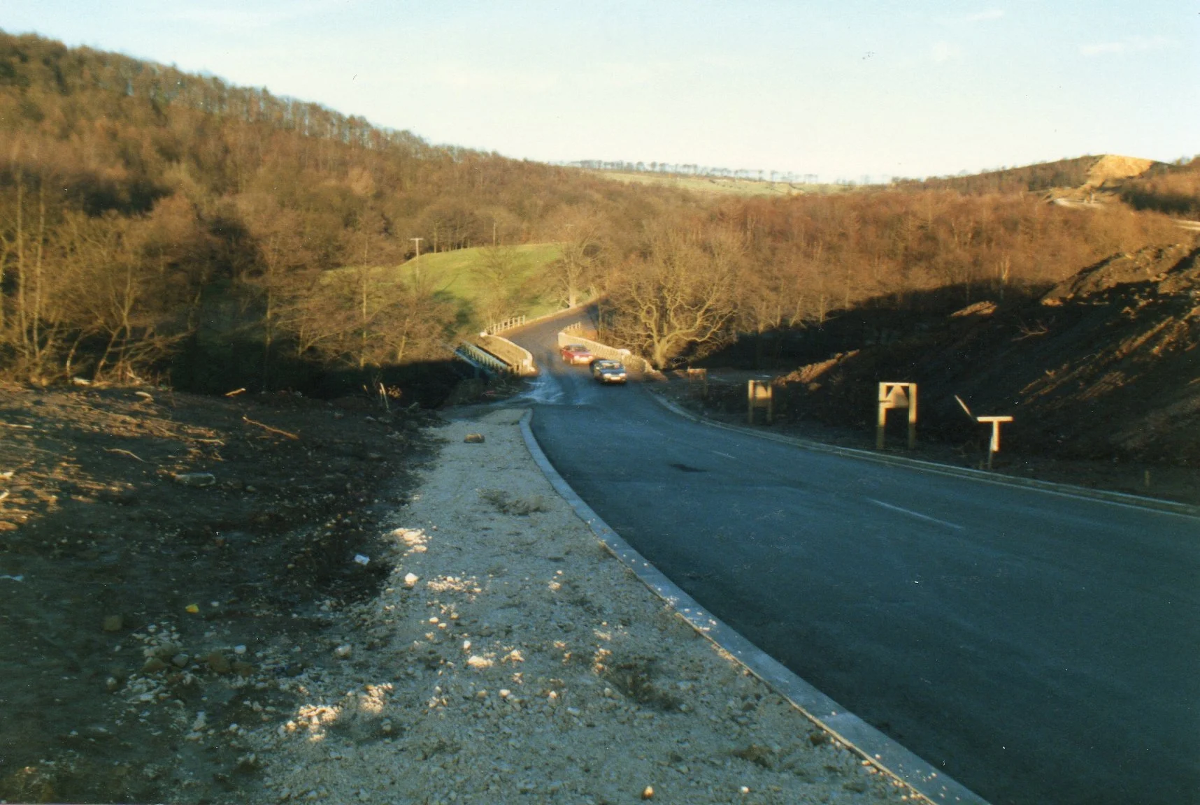
This presentation offers an in-depth photographic history of the Stocksbridge Bypass construction, a significant engineering project for the region. The bypass, officially known as the Trunk Road A616 from Stocksbridge to the M1, followed the 'Blue Route' plan, which was approved in 1983.
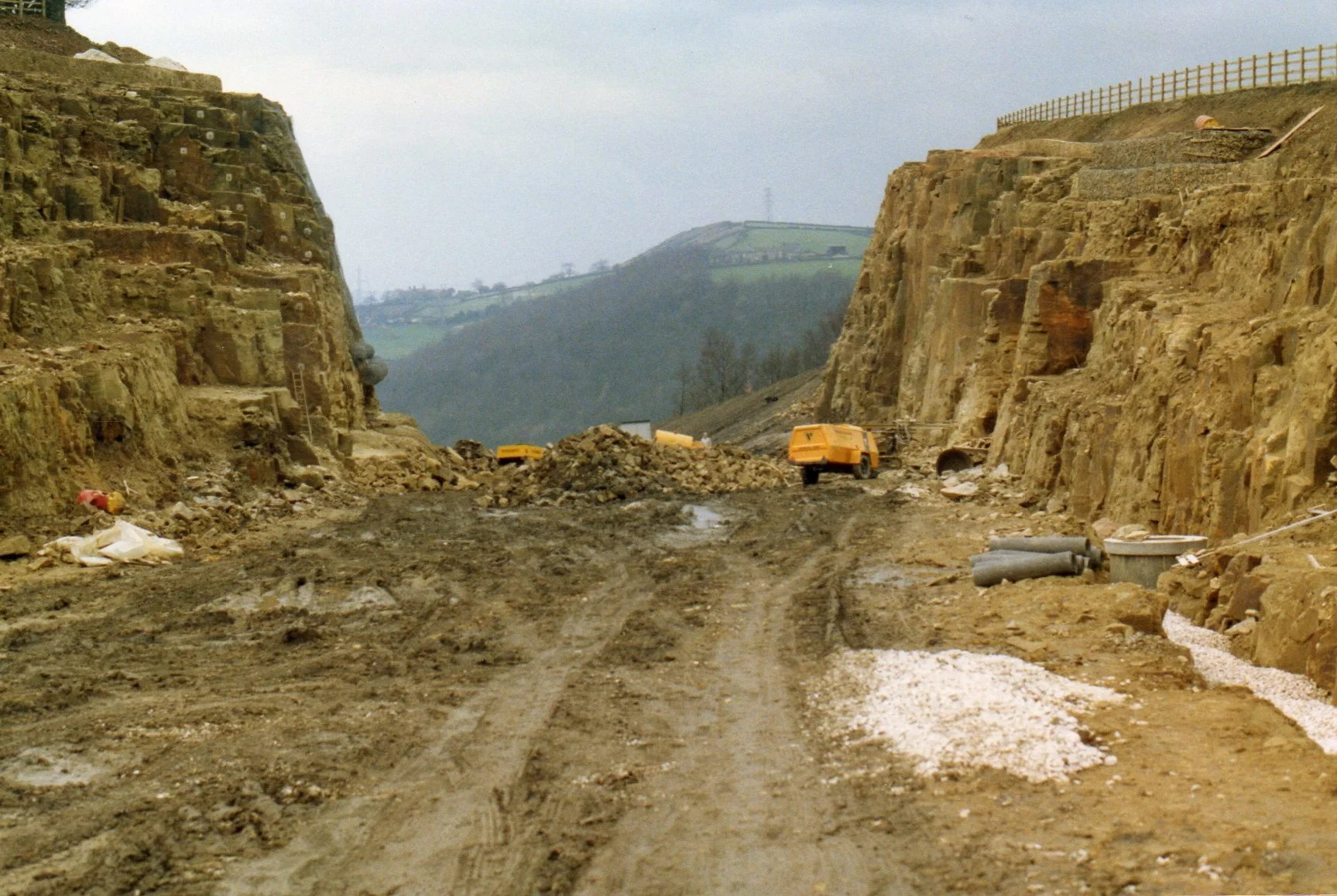
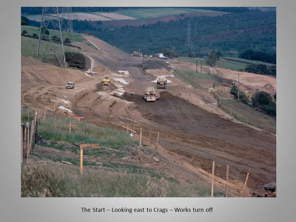
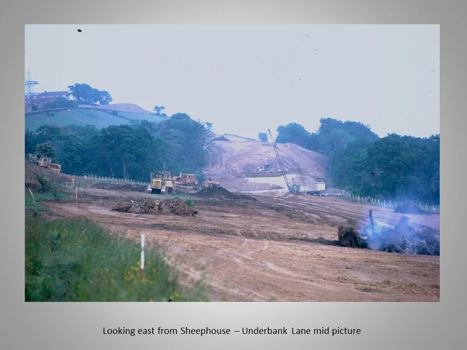
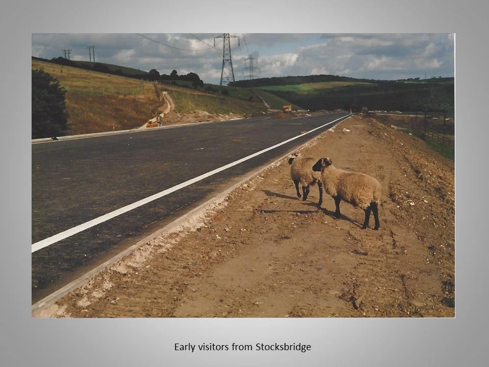
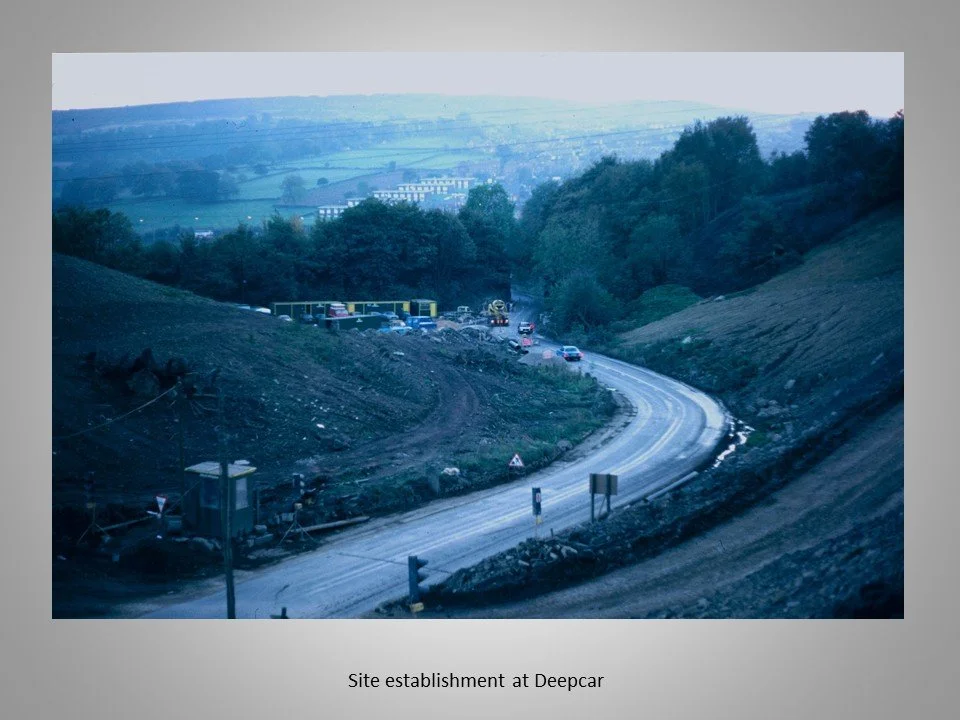
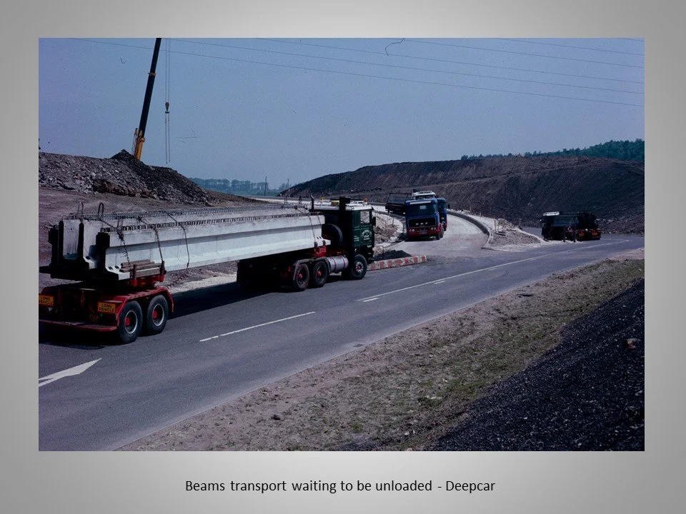
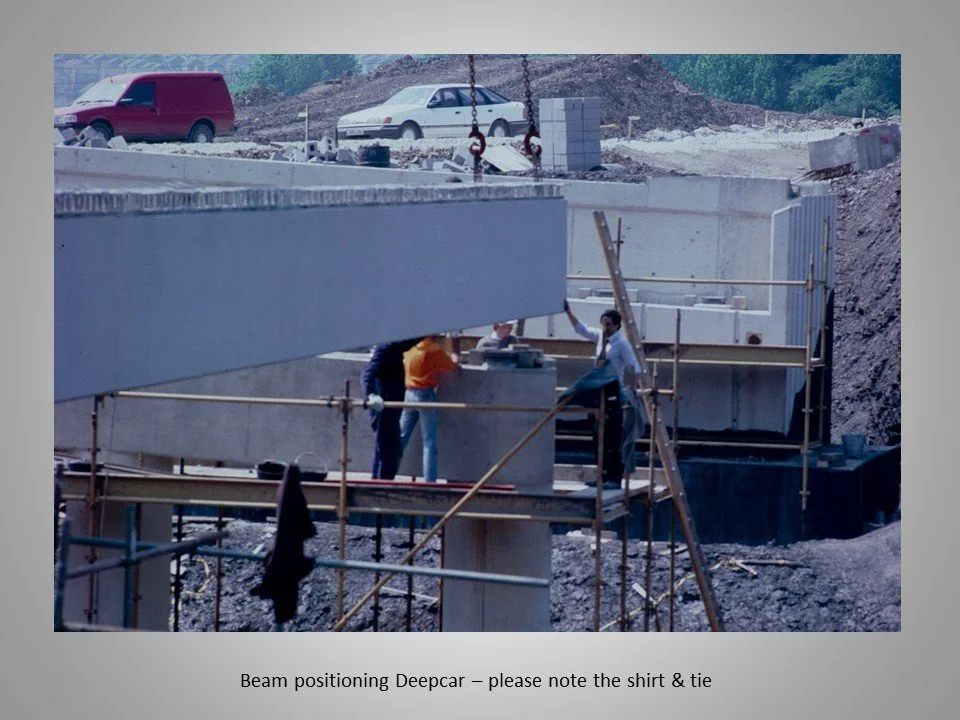
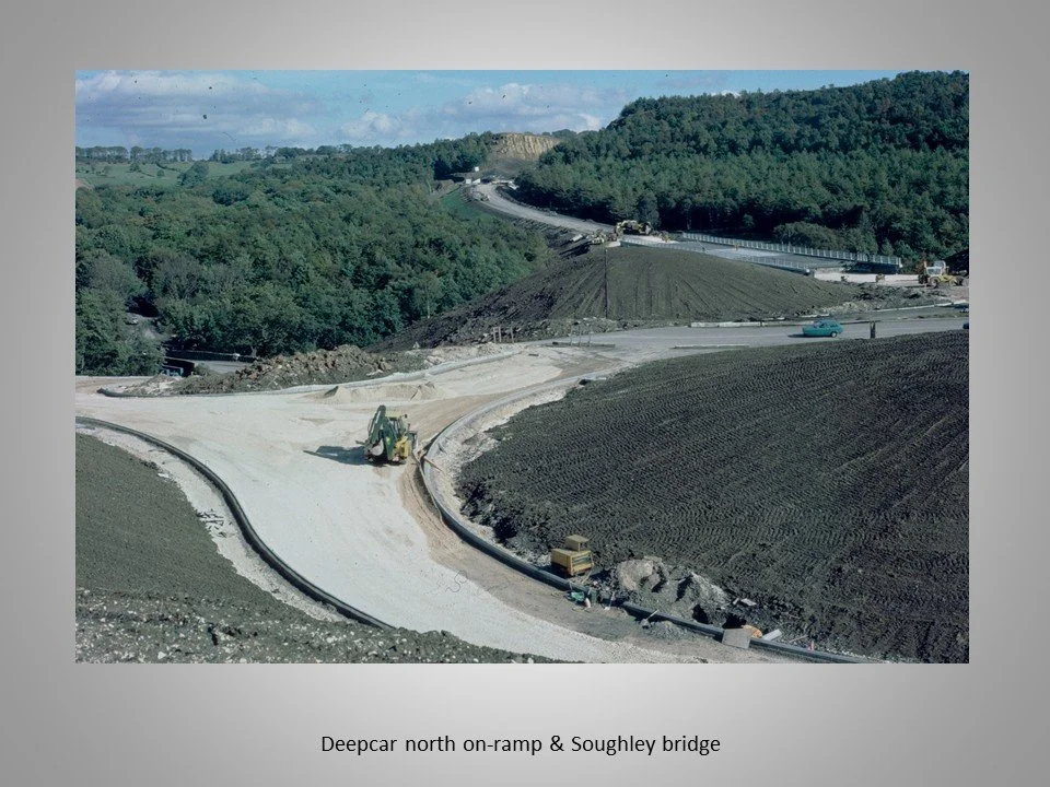
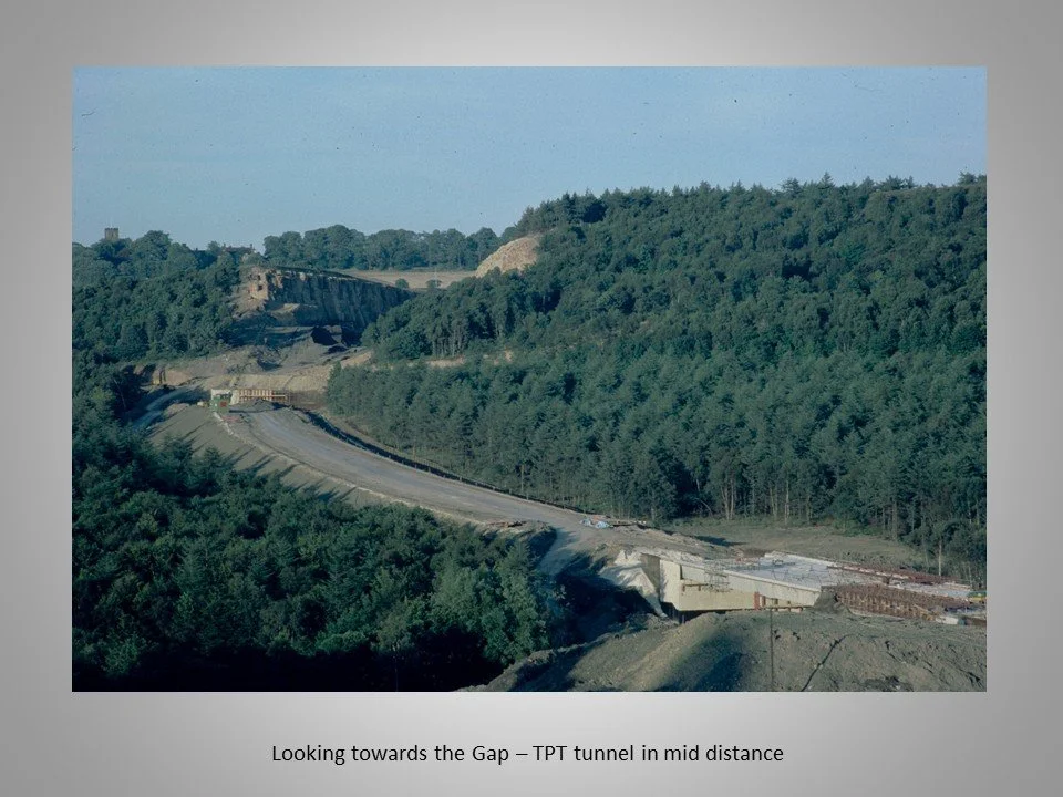
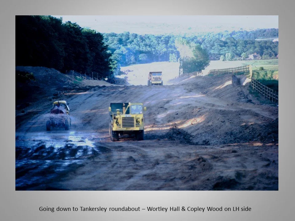
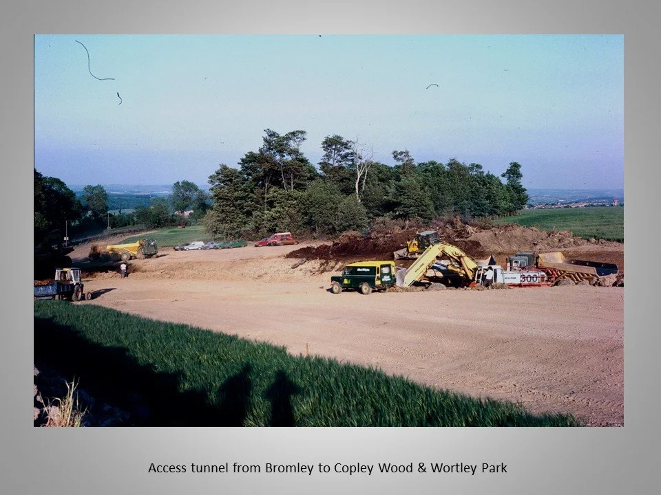
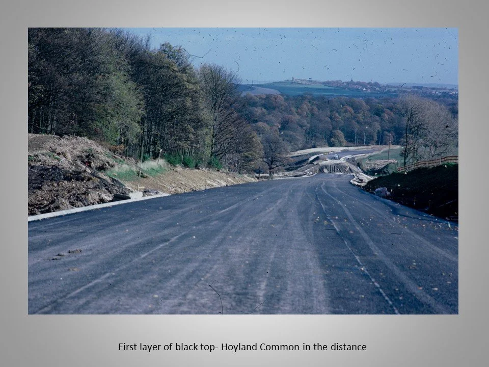
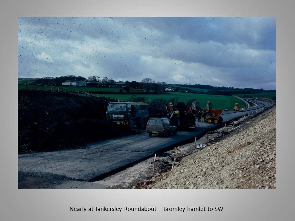
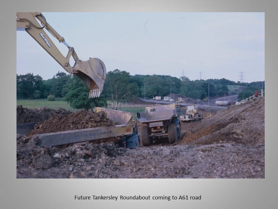
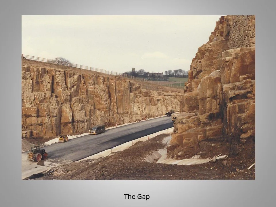
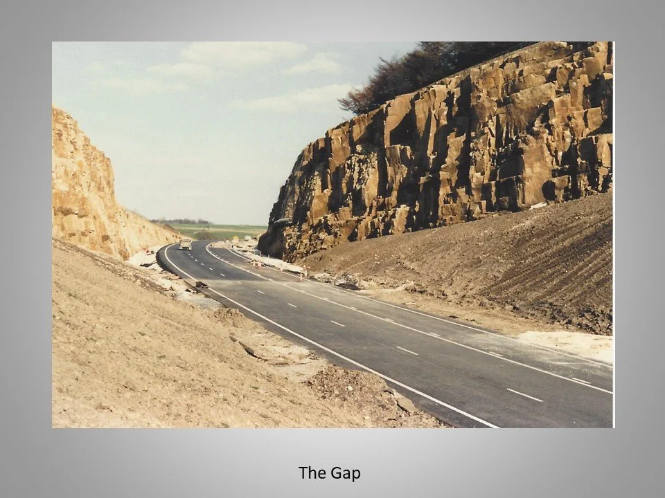
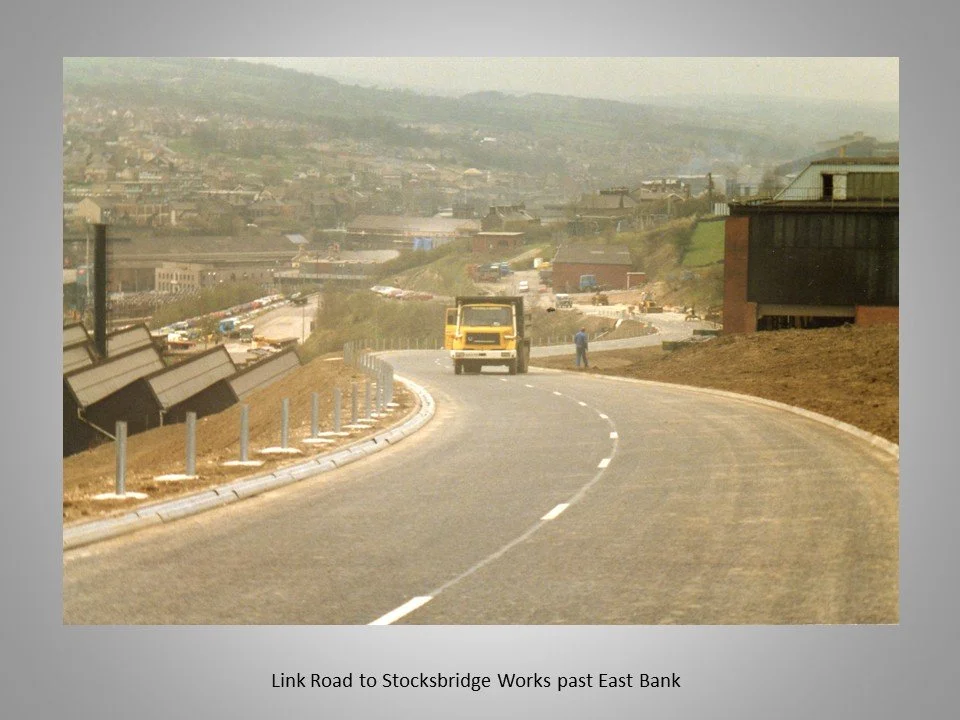
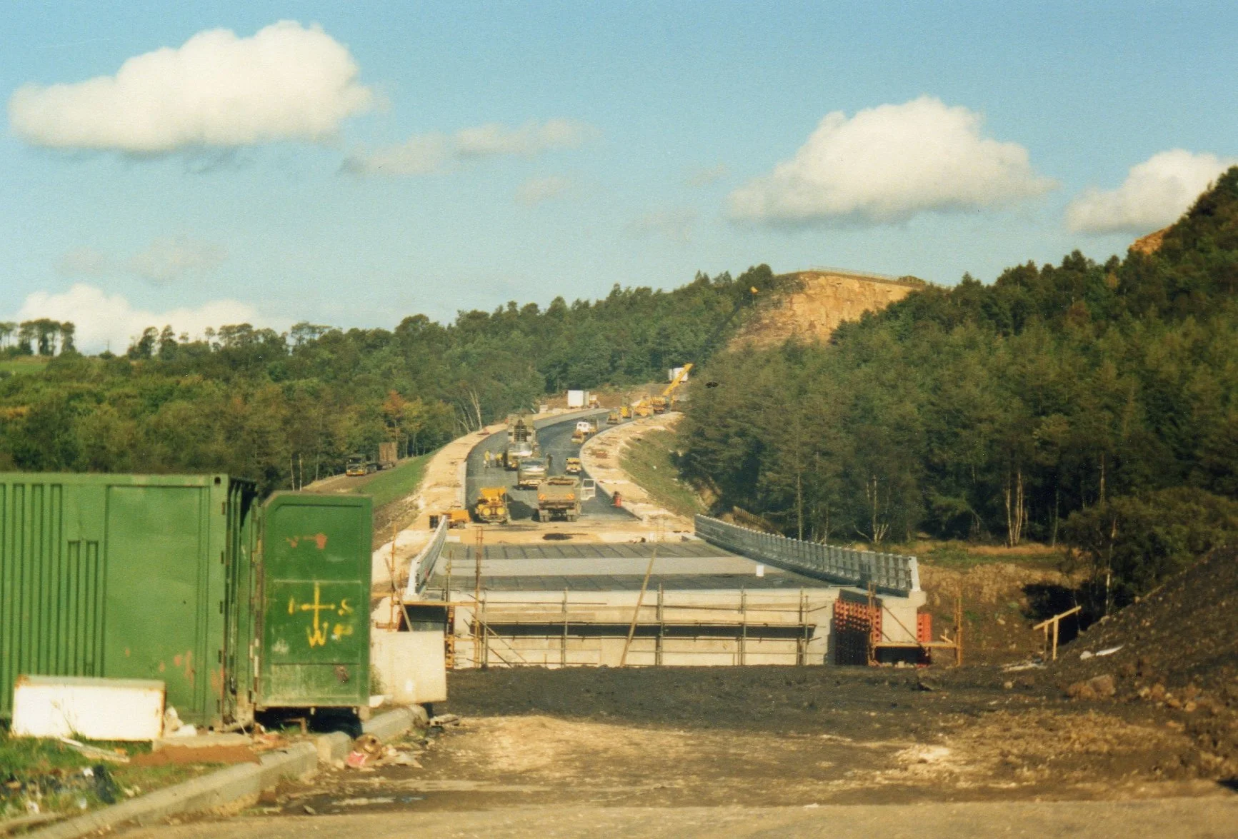
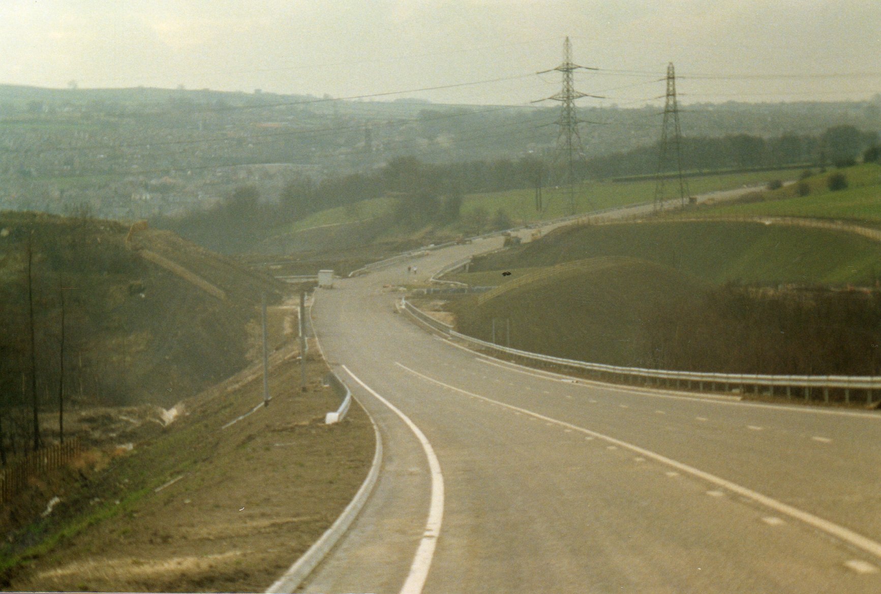
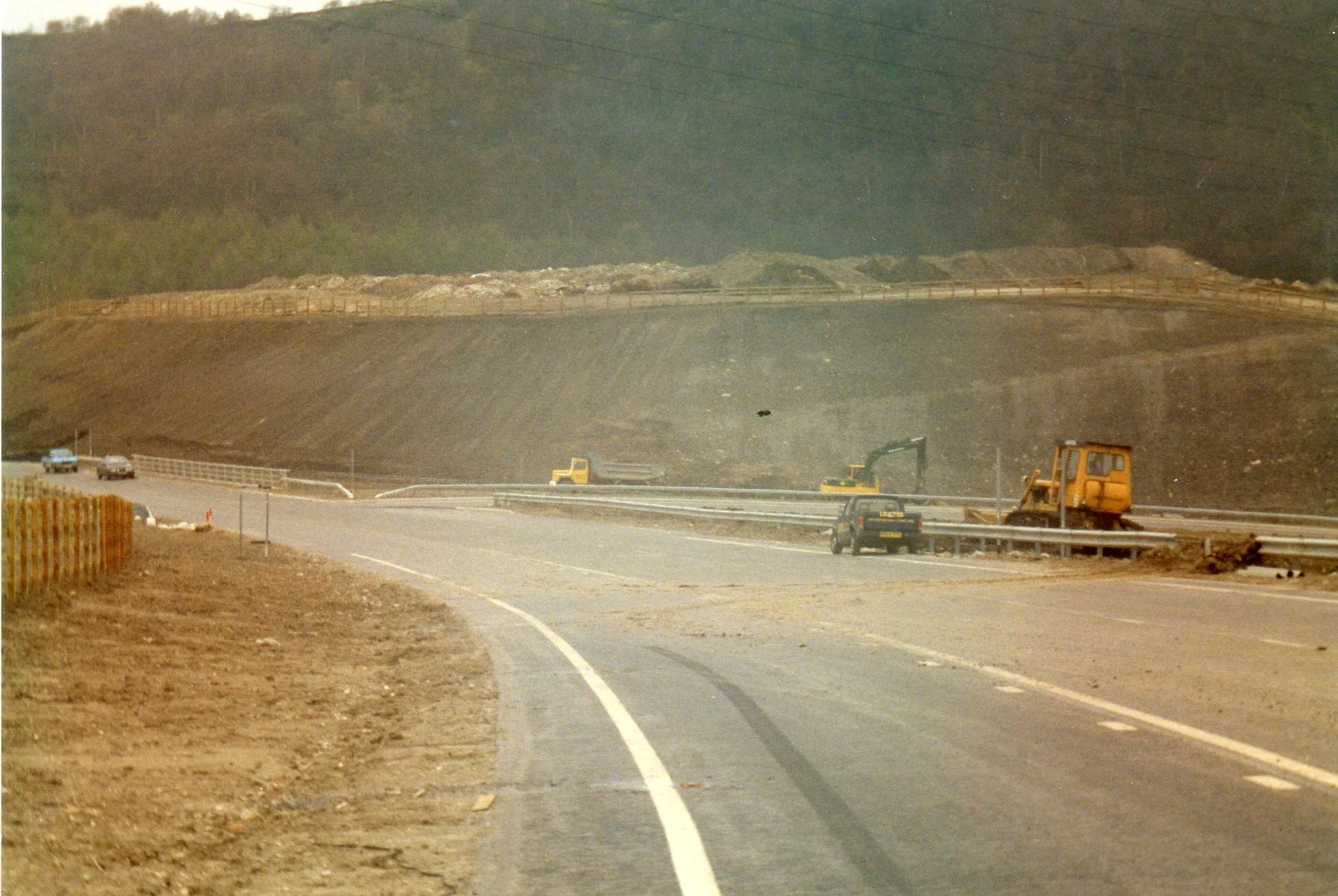
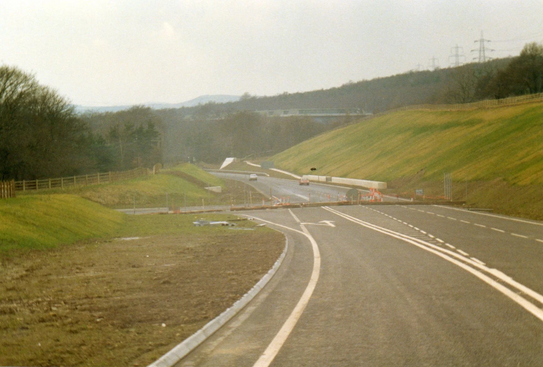
The archive captures key stages of the 12-kilometre road's development, including:
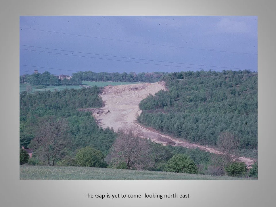
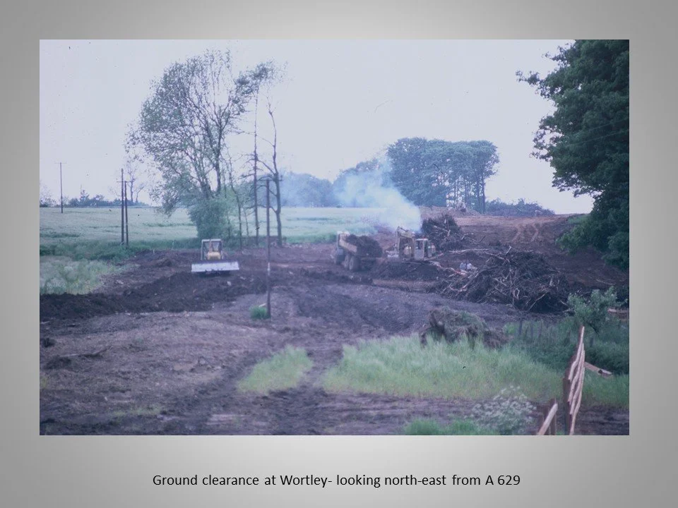
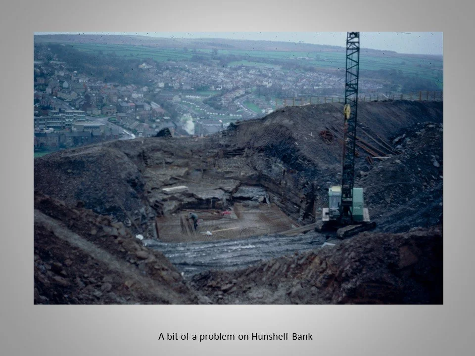
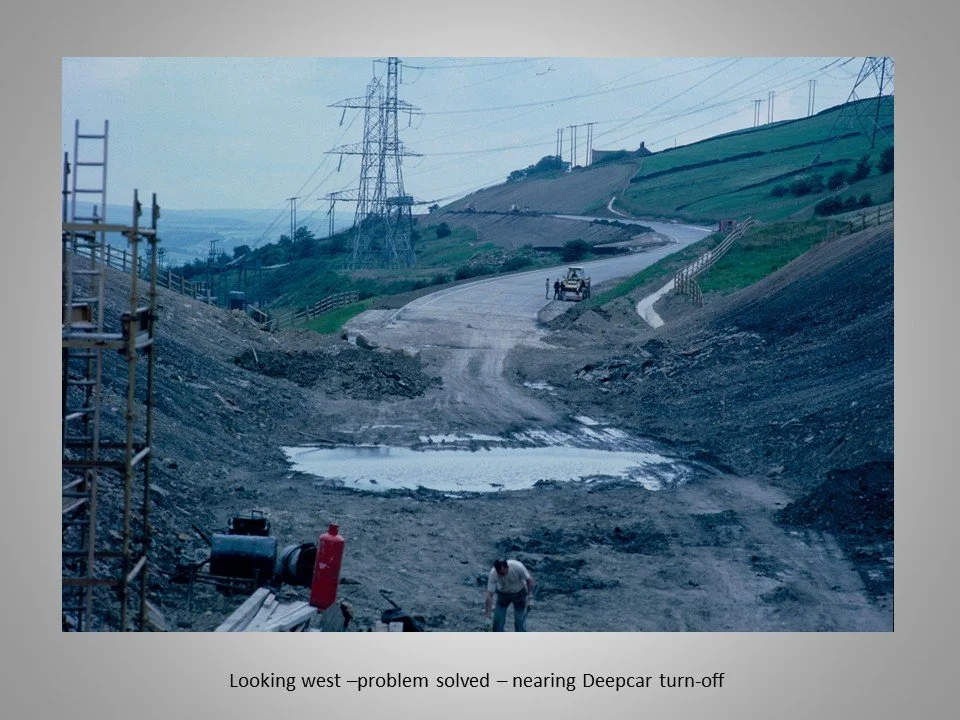
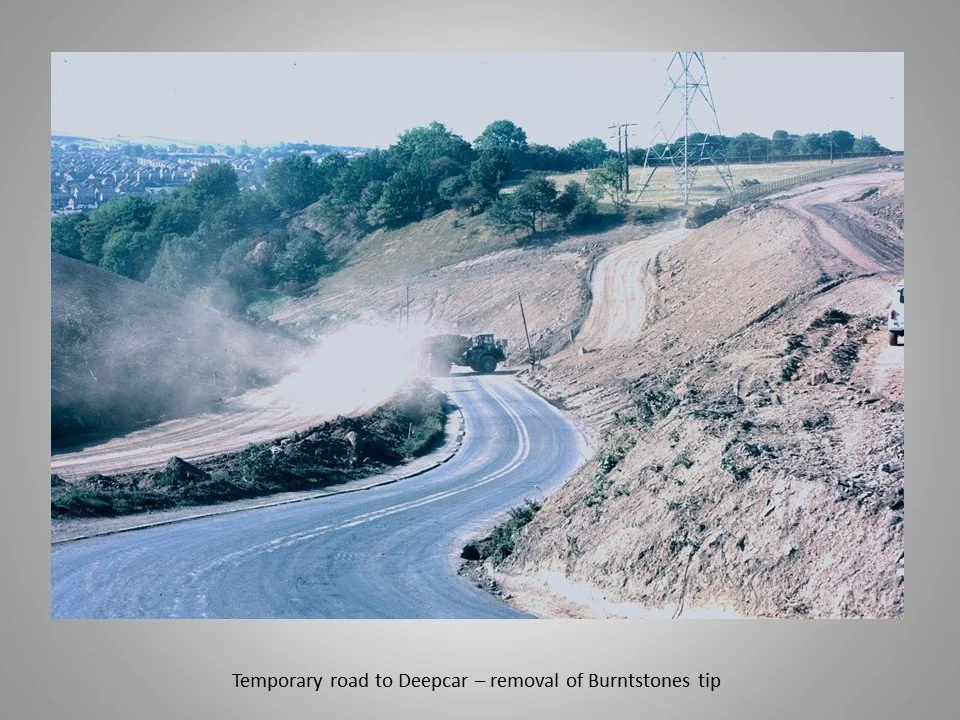
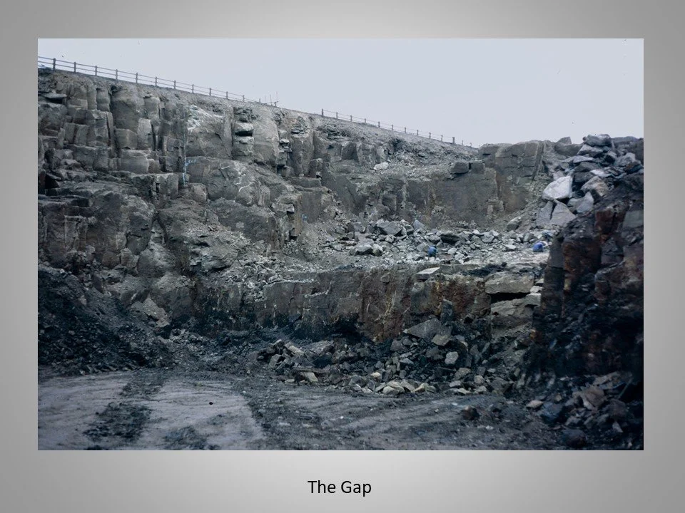
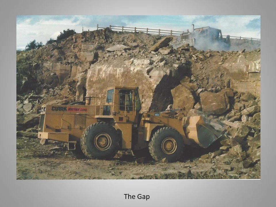
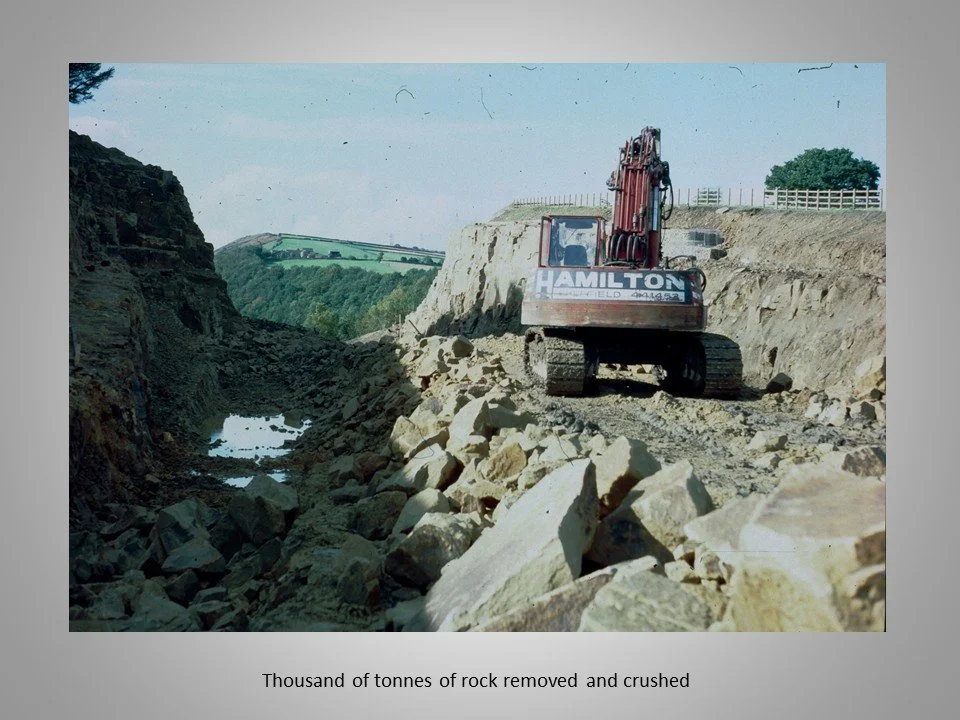
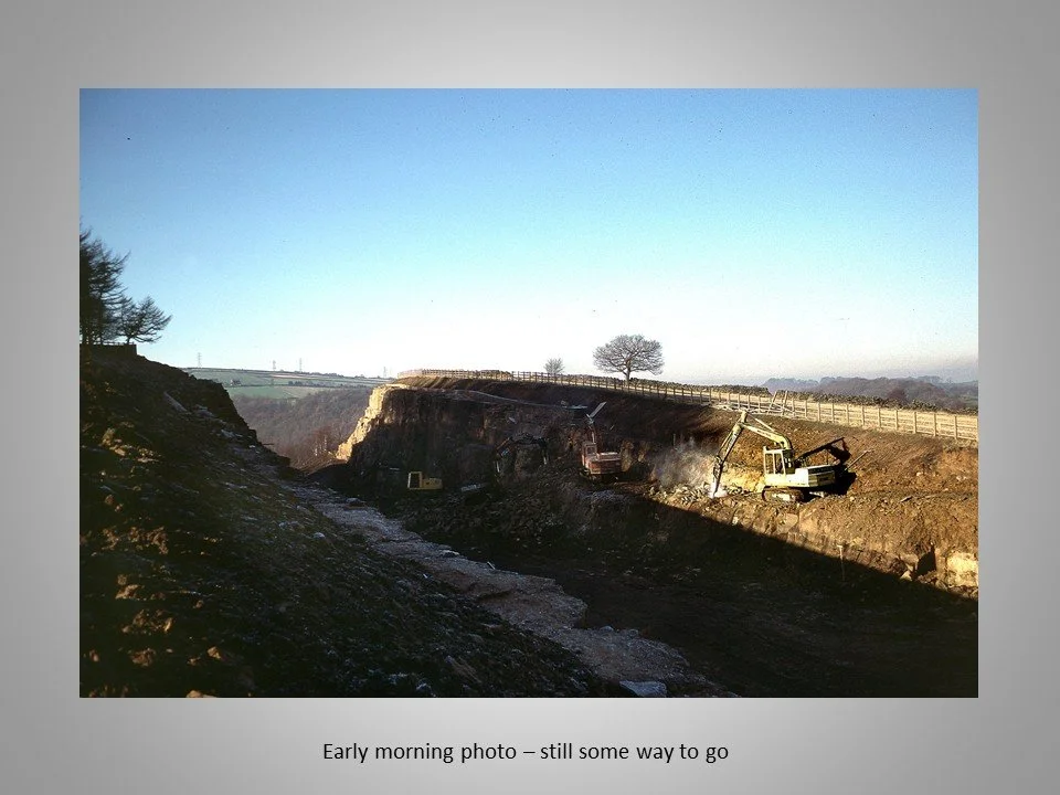
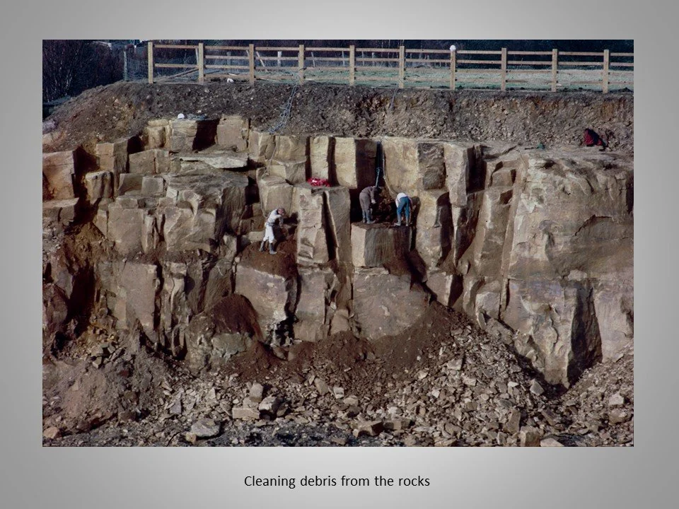
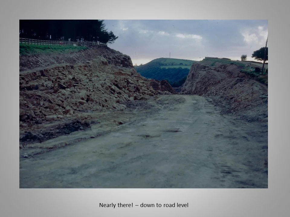
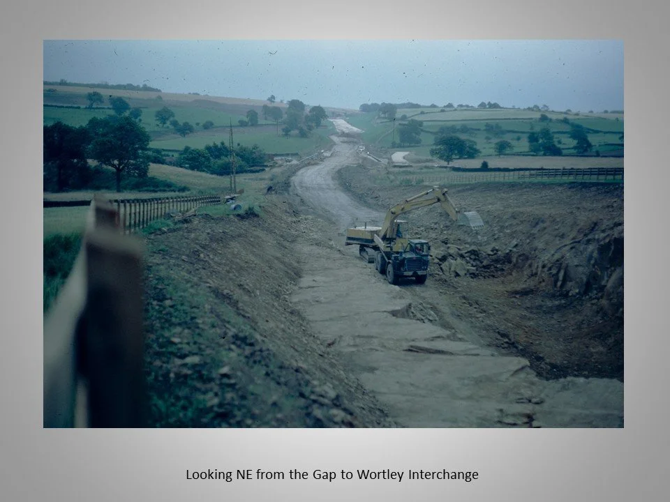
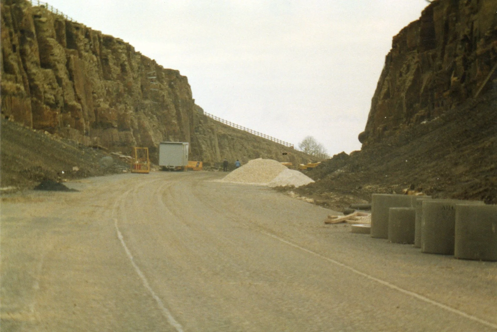
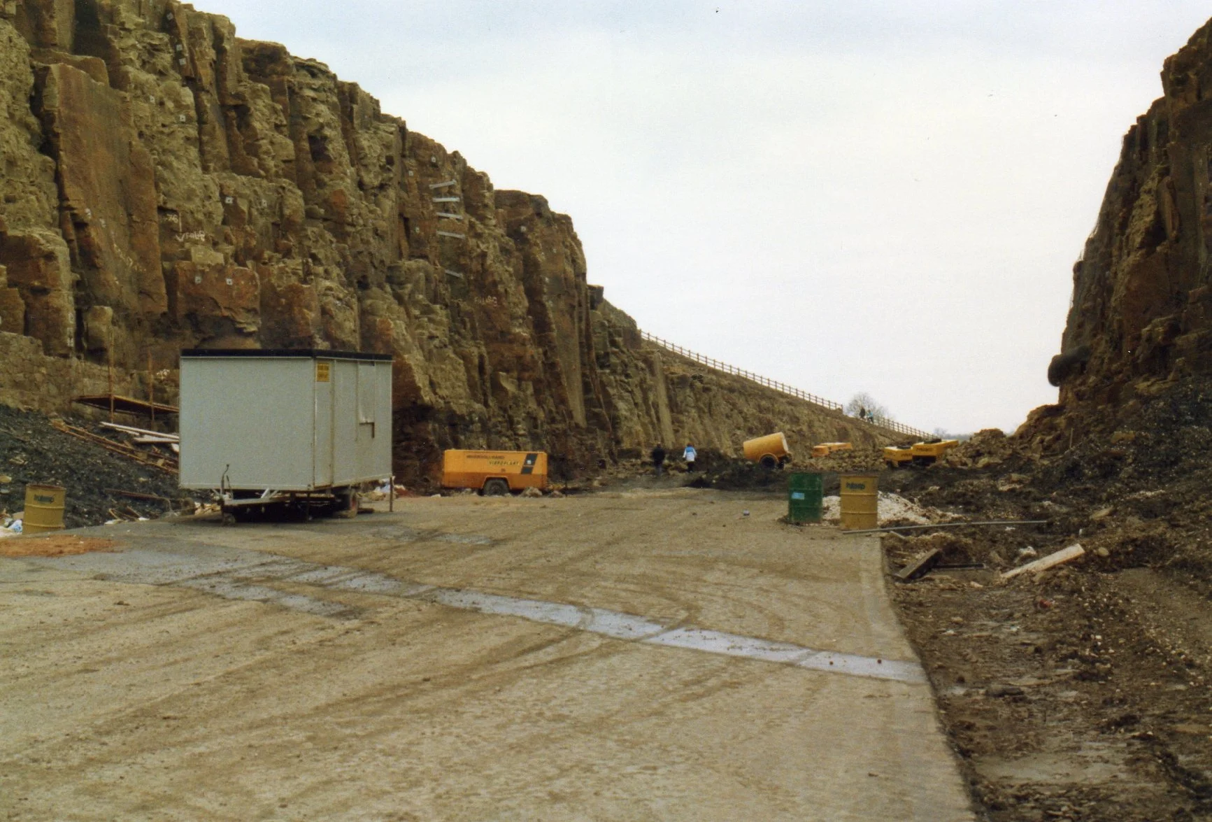
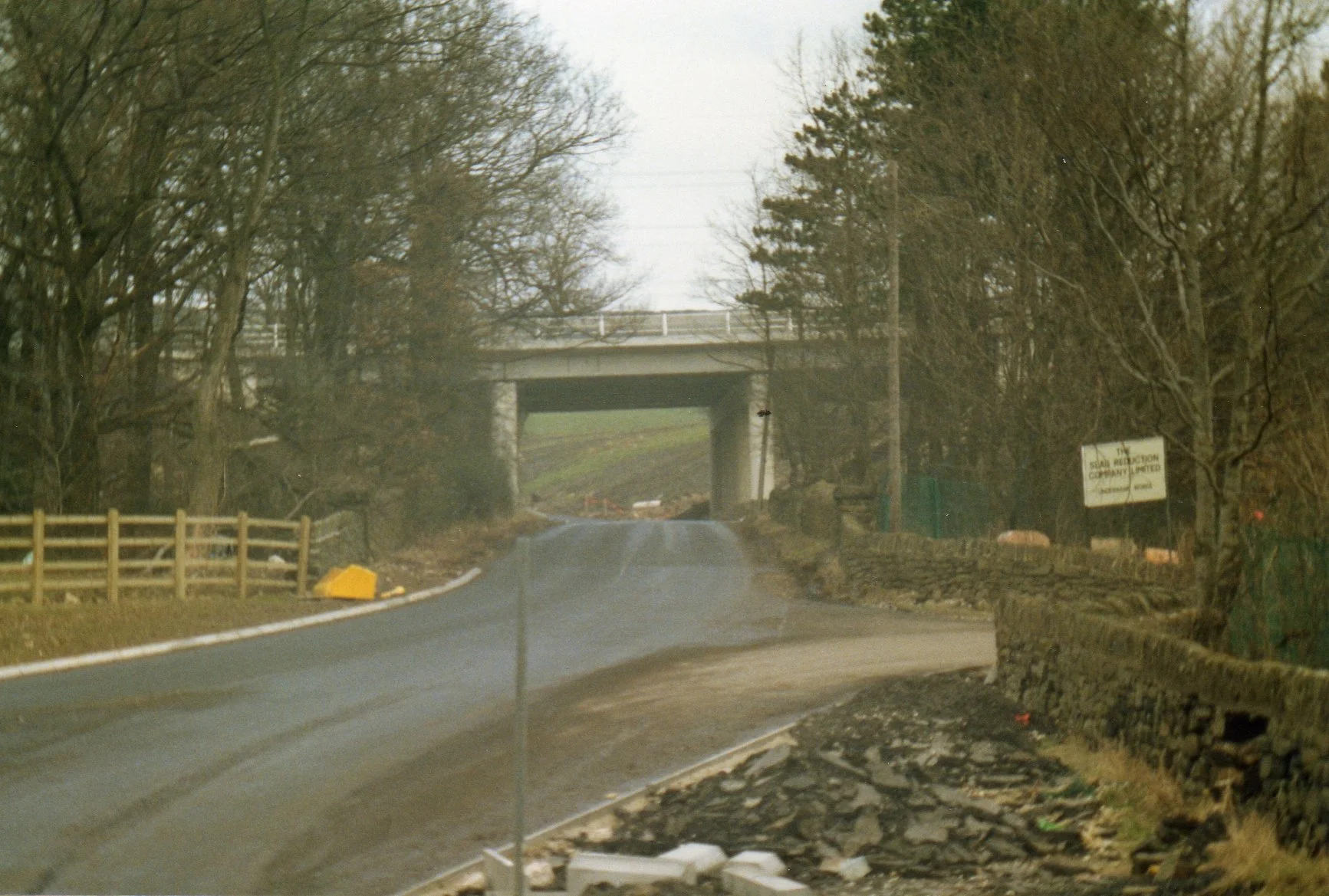
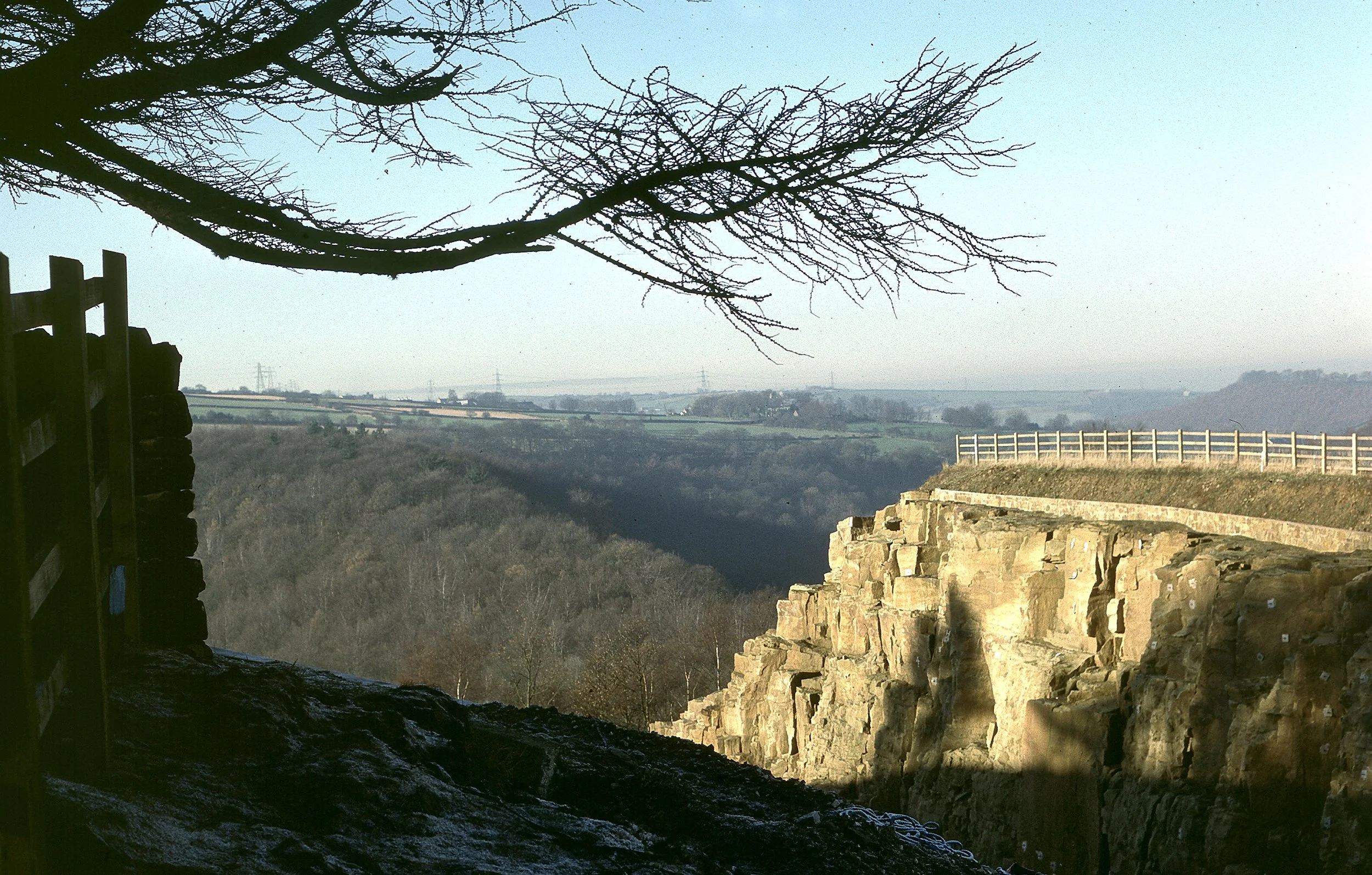
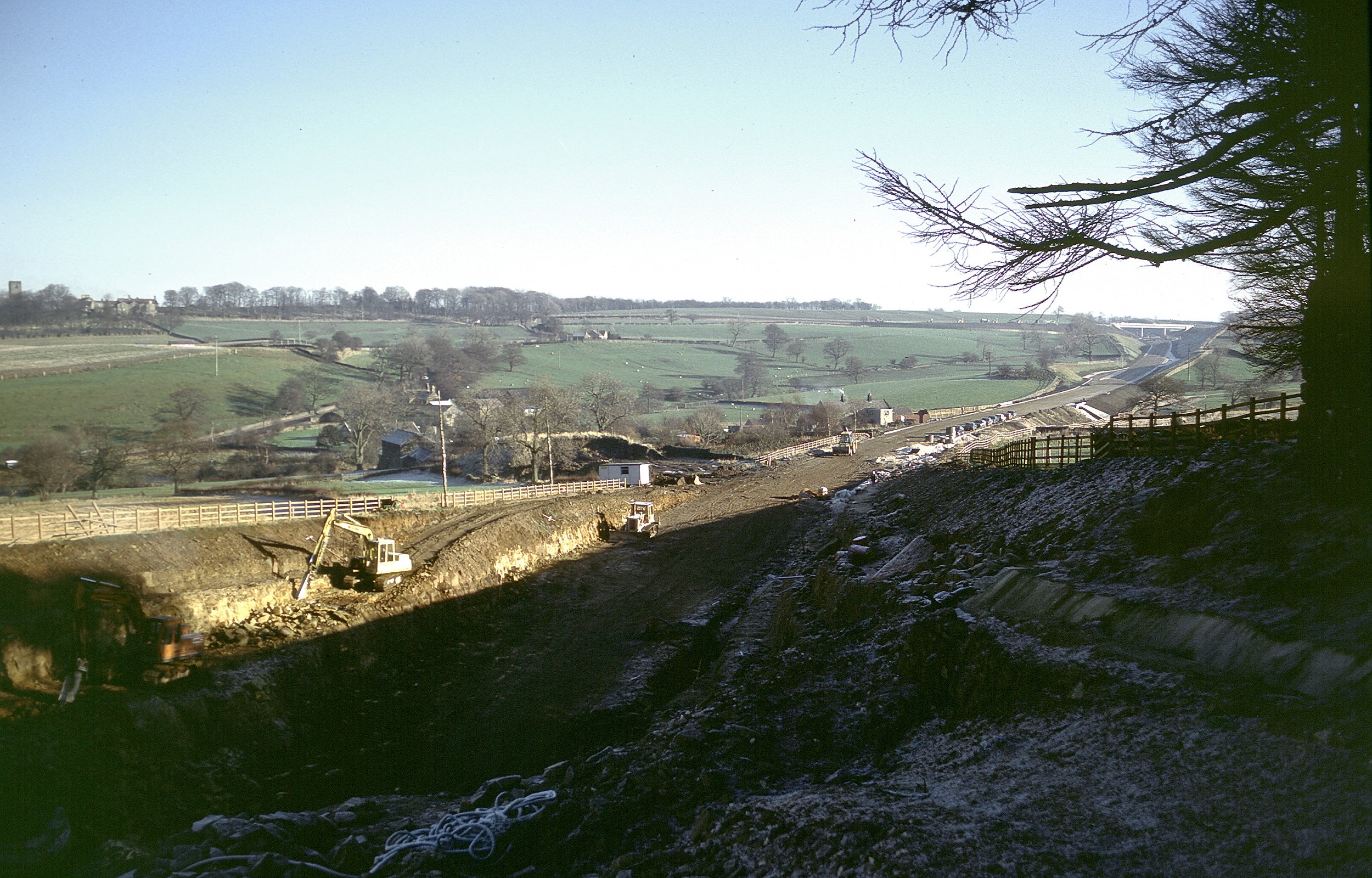
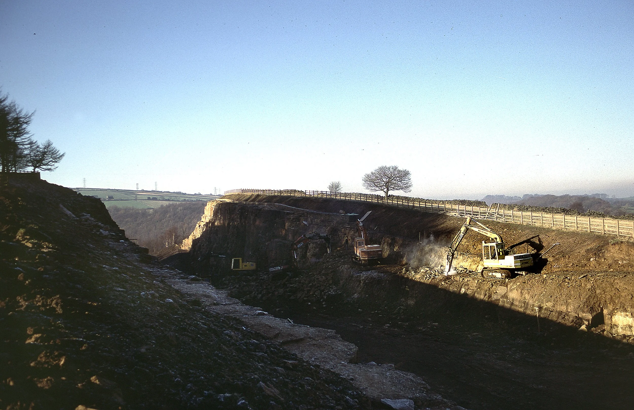
Ground clearance and the extensive rock cutting required to create "The Gap".
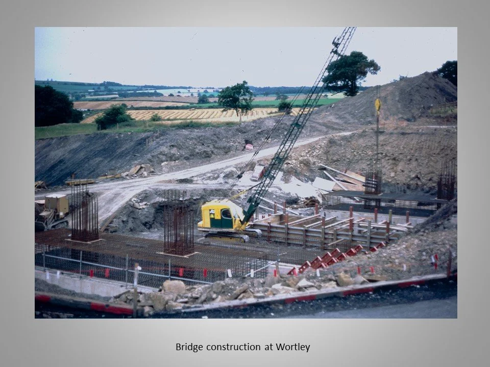
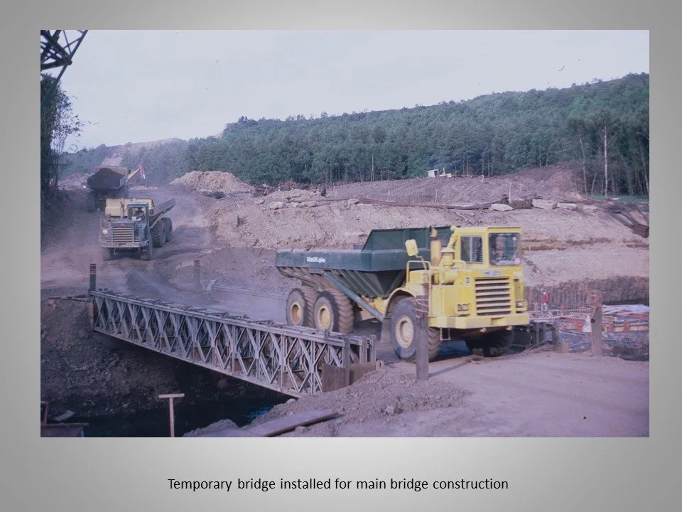
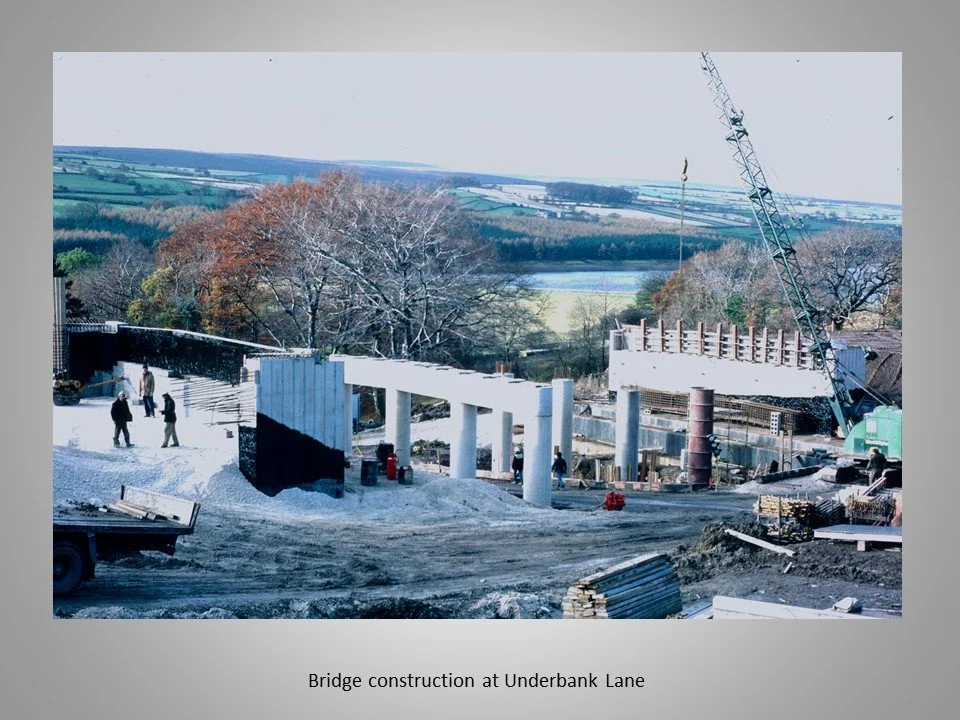
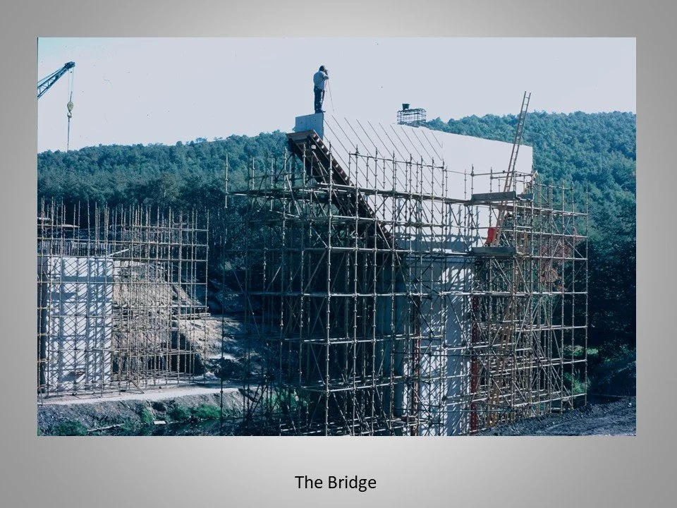
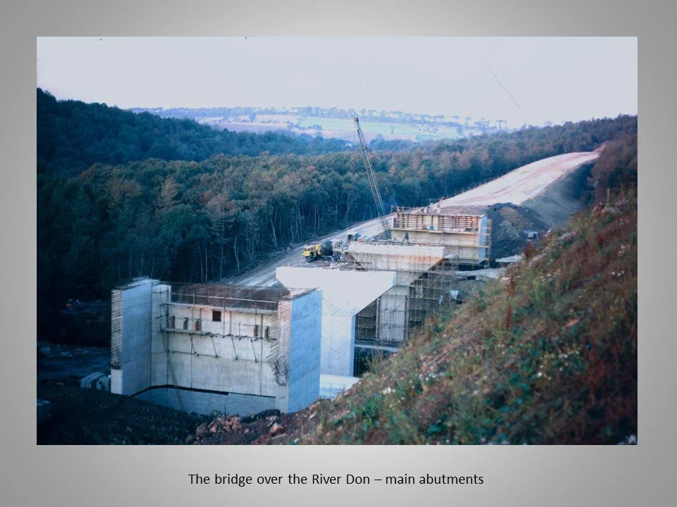
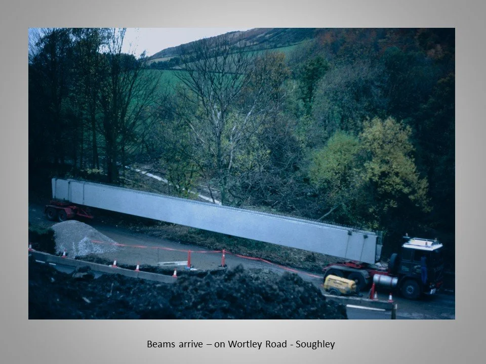
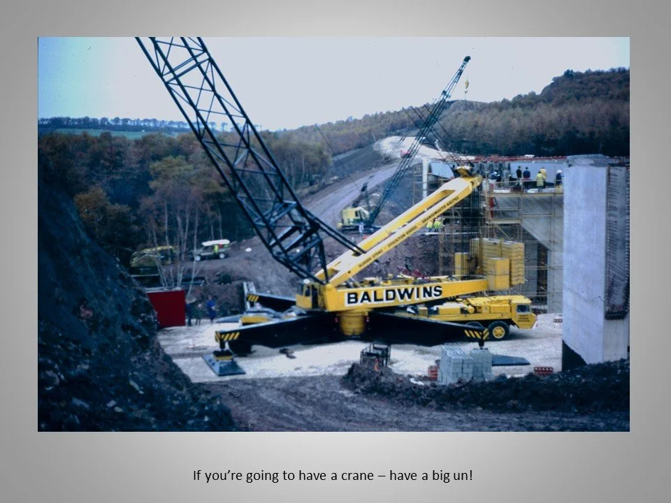
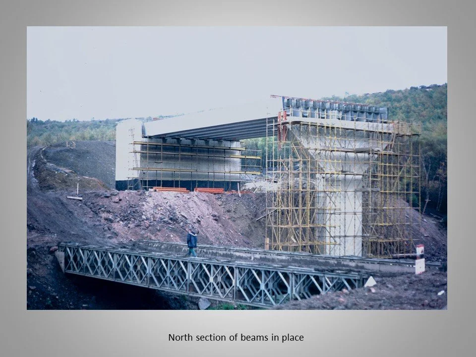
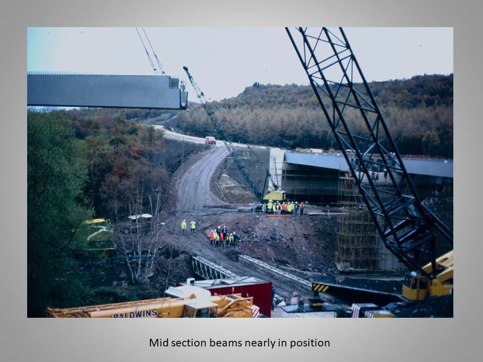
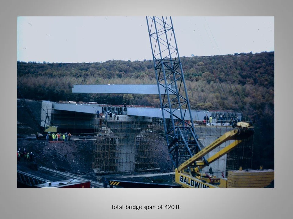
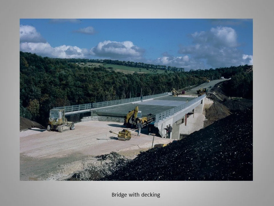
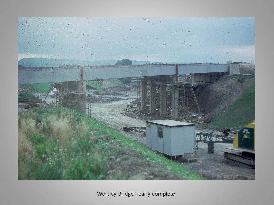
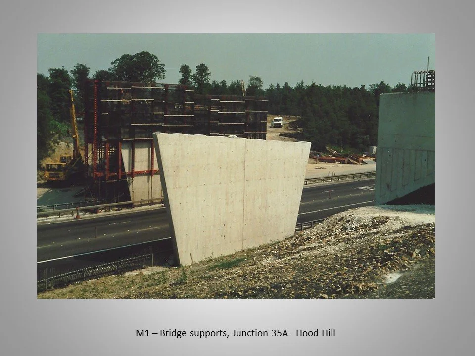
The construction of major structures like the 420-ft span bridge over the River Don.
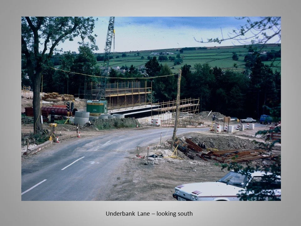
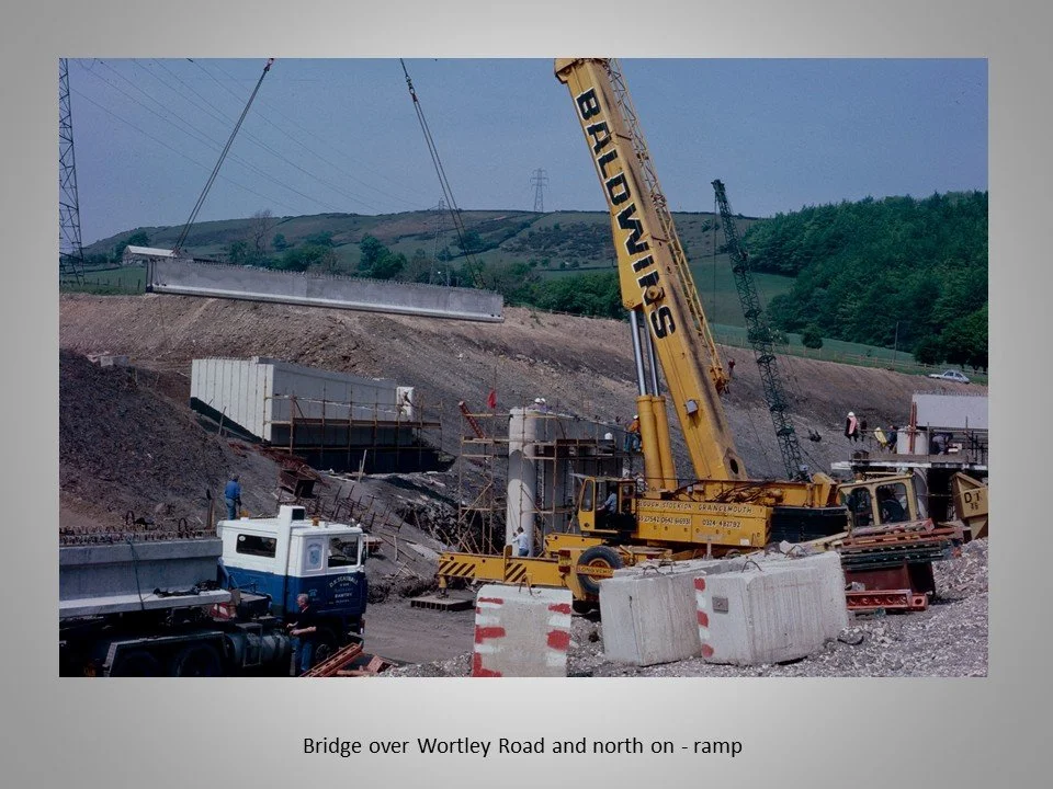
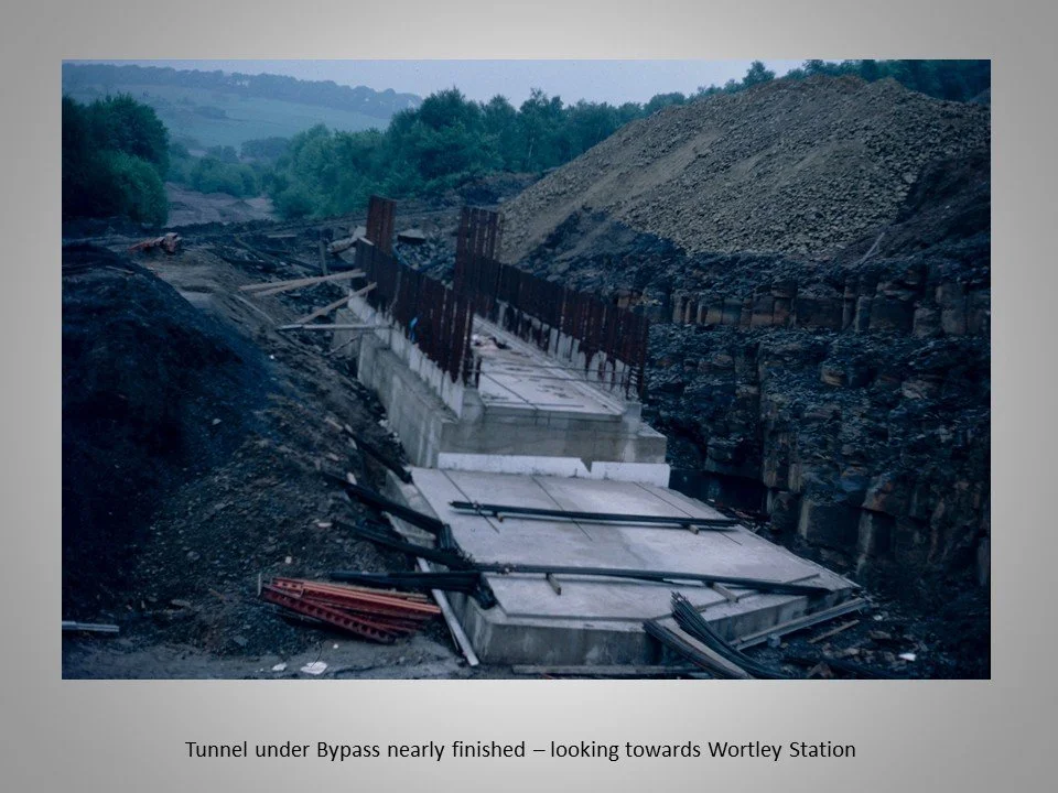
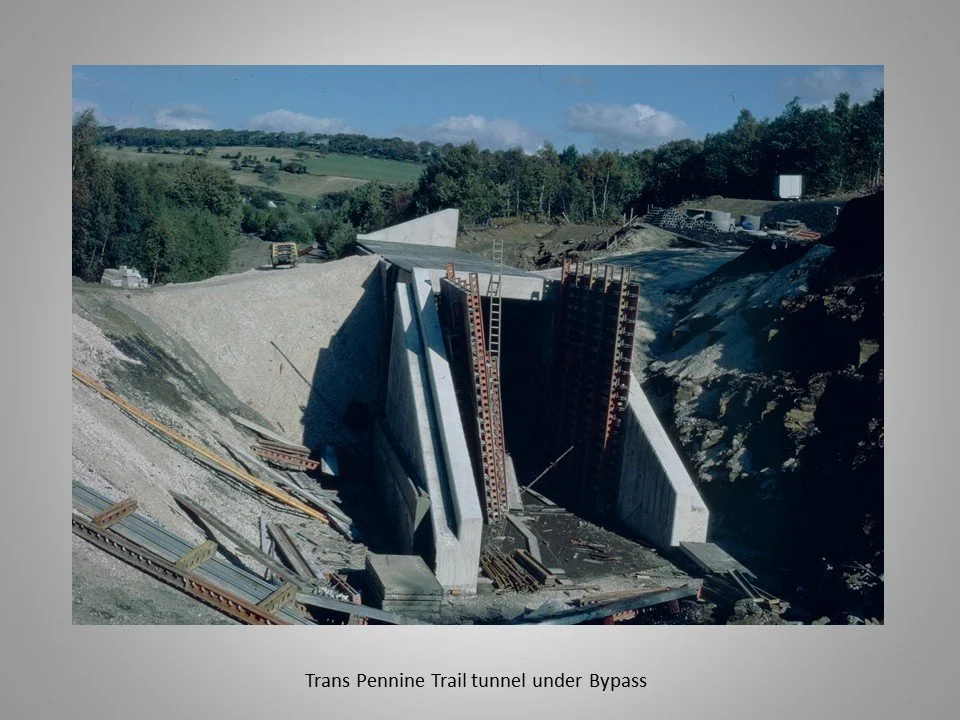
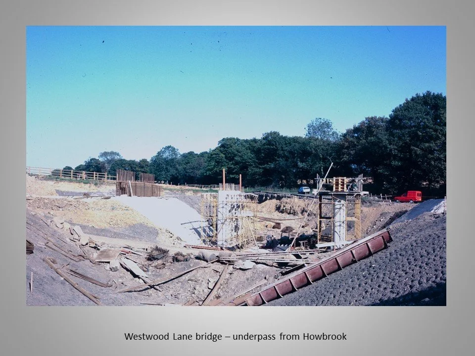
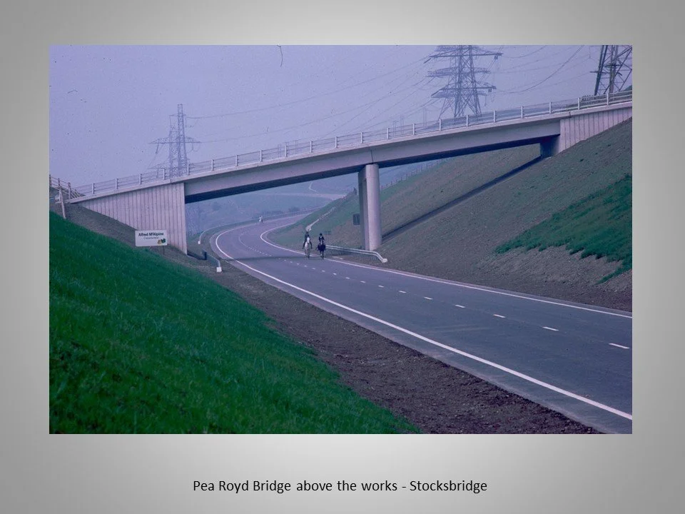
The building of multiple bridges and underpasses, including the Trans Pennine Trail tunnel.
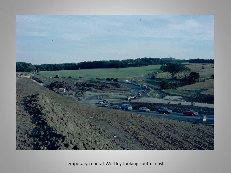
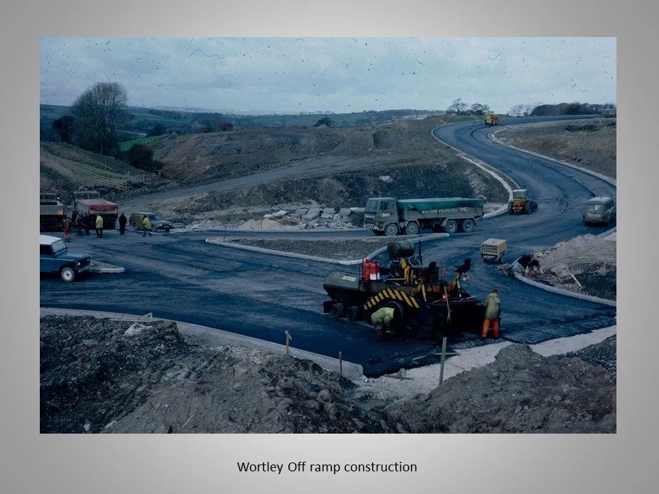
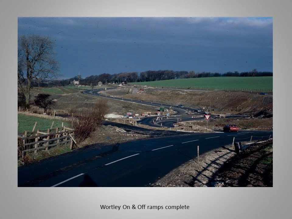
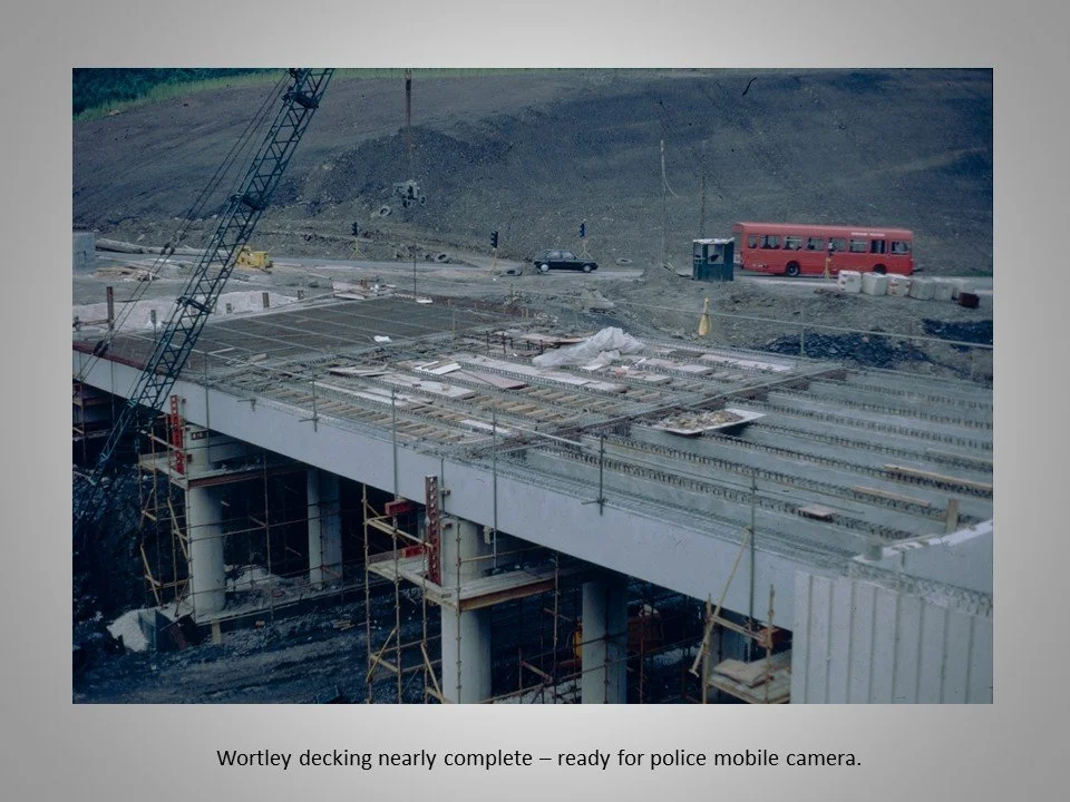
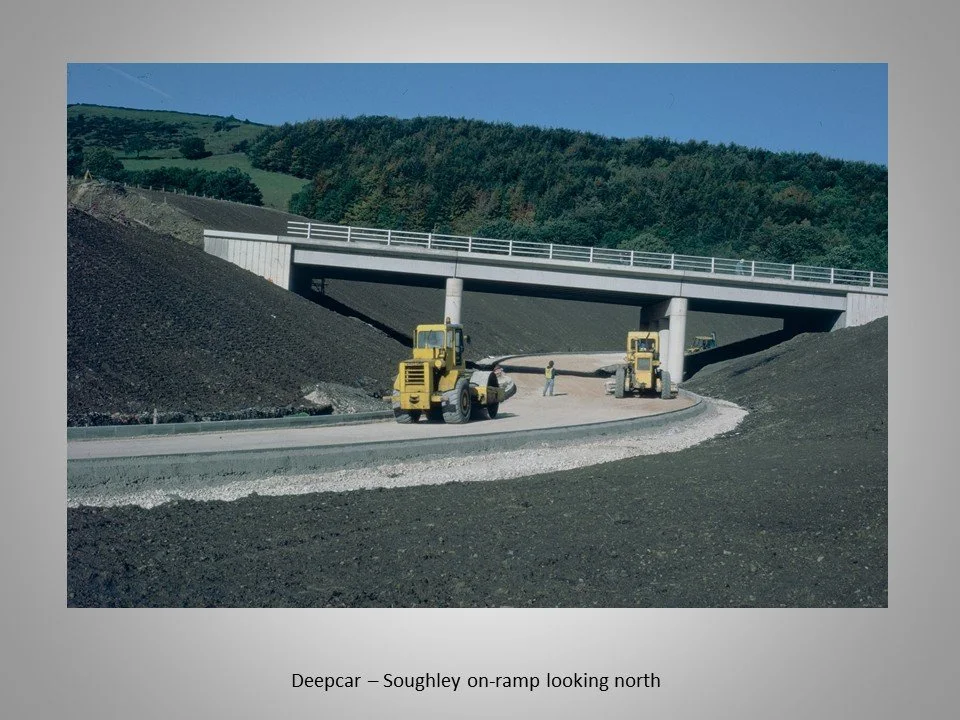
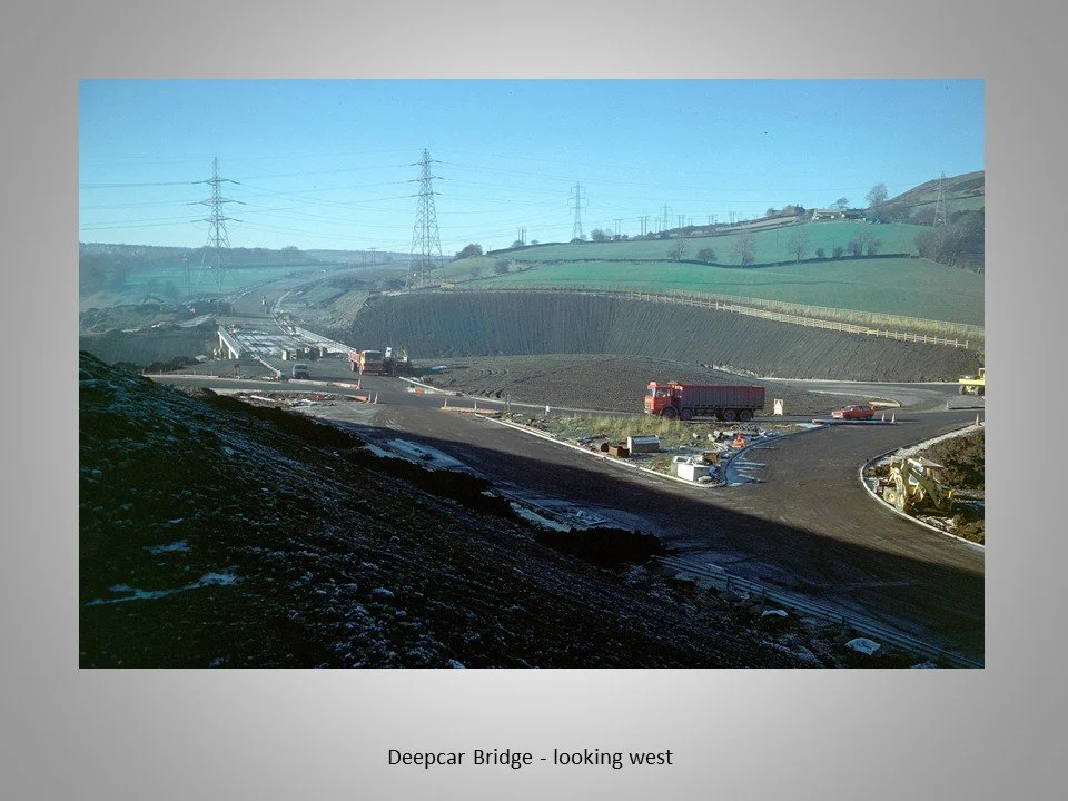
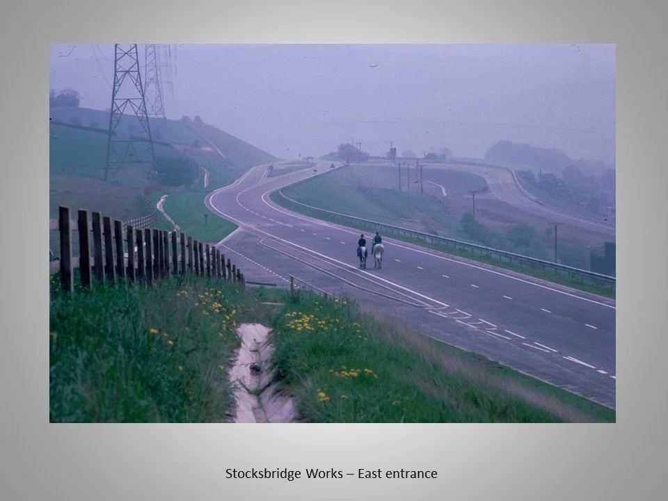
The creation of the Deepcar and Wortley interchanges.
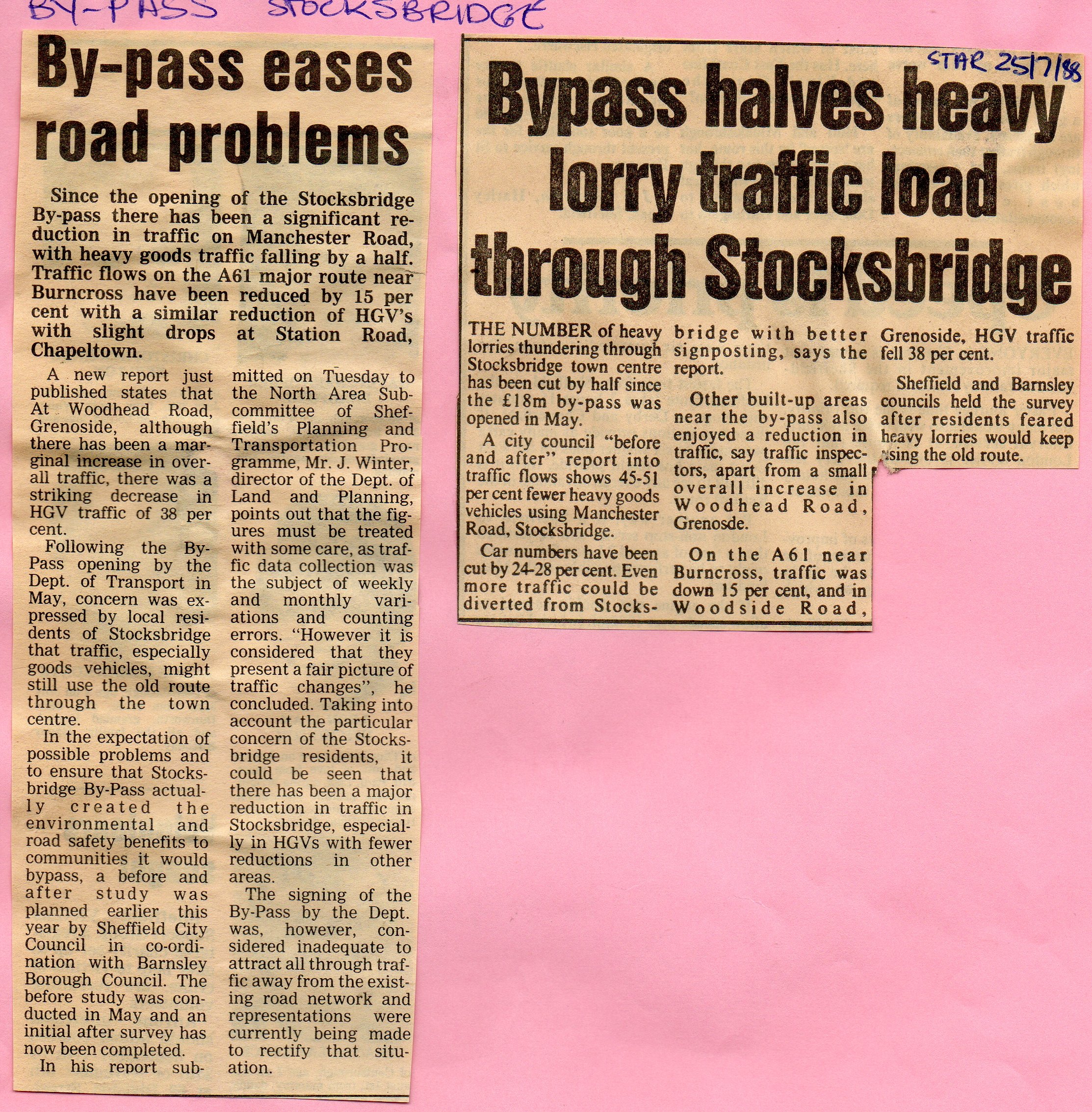
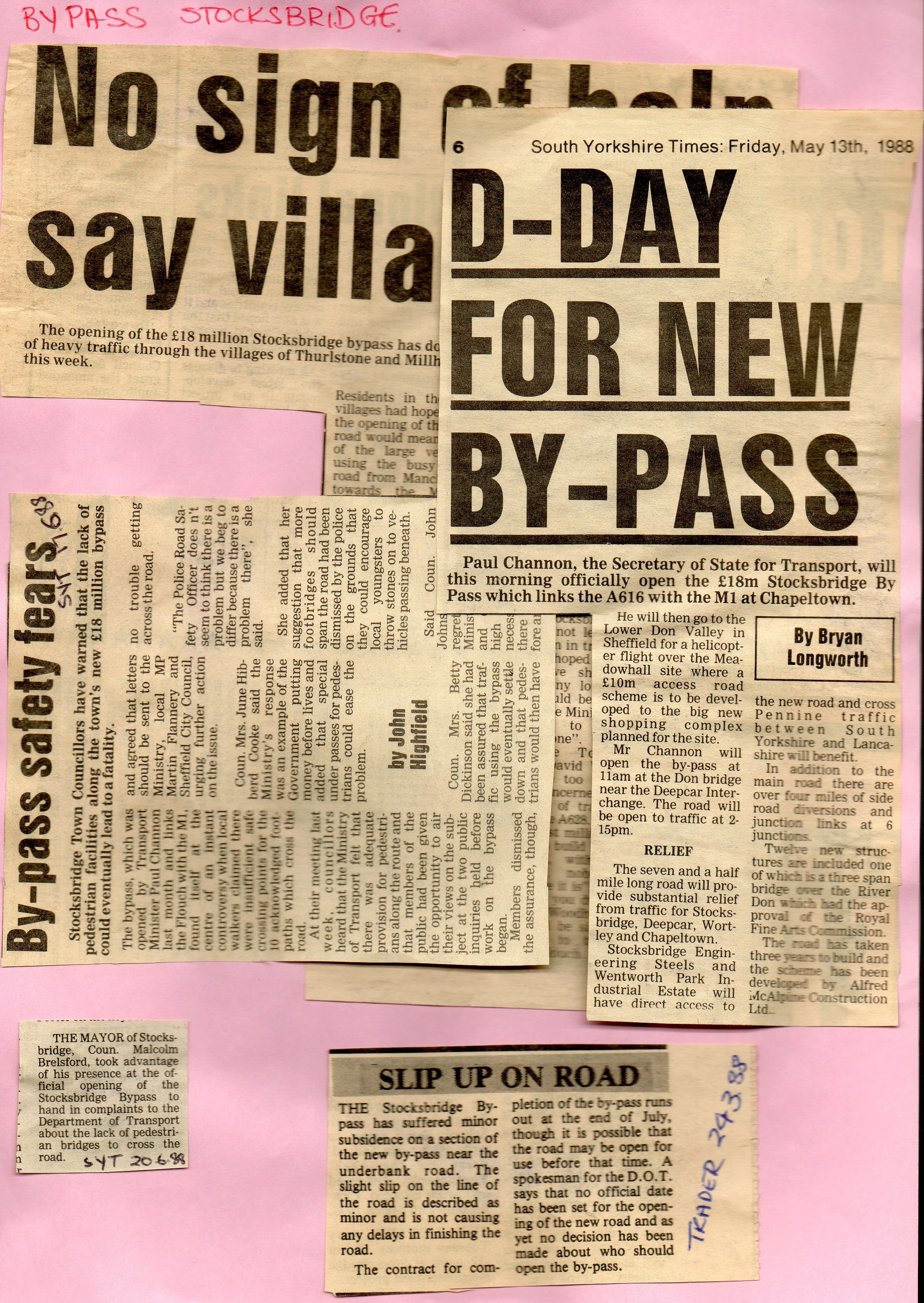
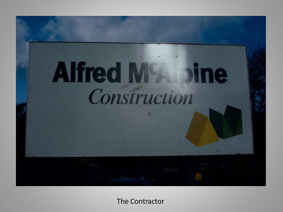
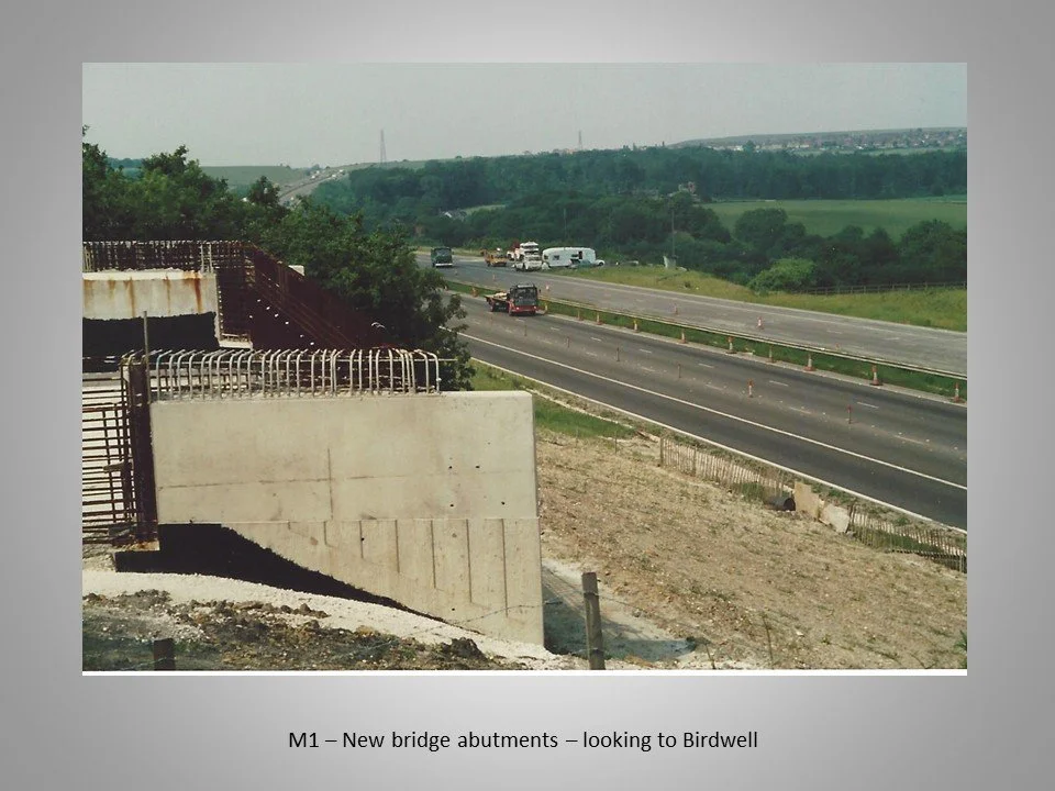
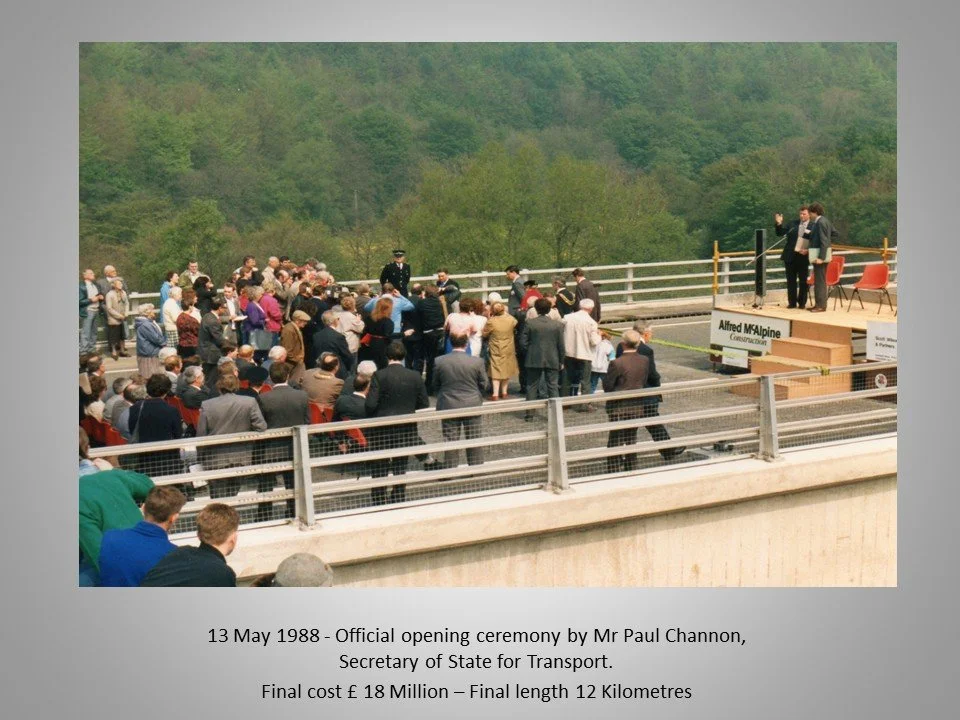
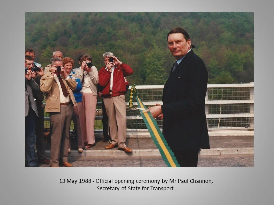
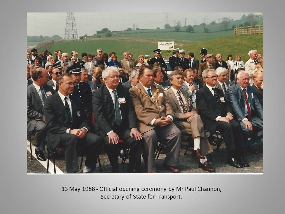
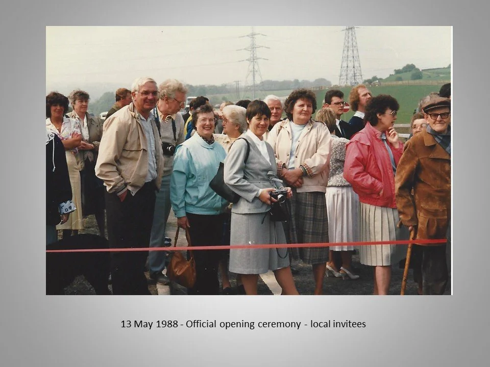
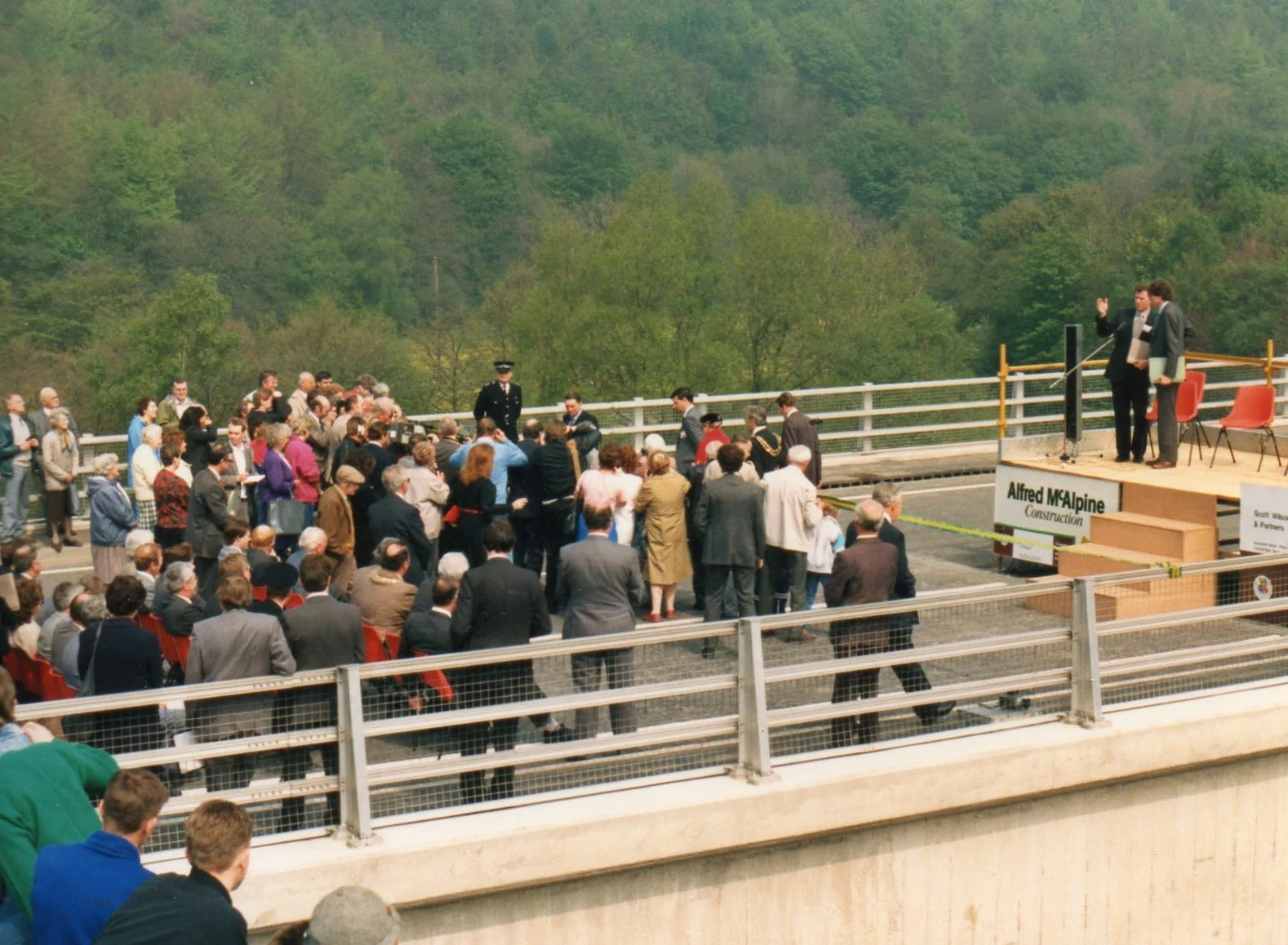
The road, built by contractors Alfred McAlpine , was officially opened on May 13, 1988, by Mr. Paul Channon, Secretary of State for Transport, at a final cost of £18 Million.


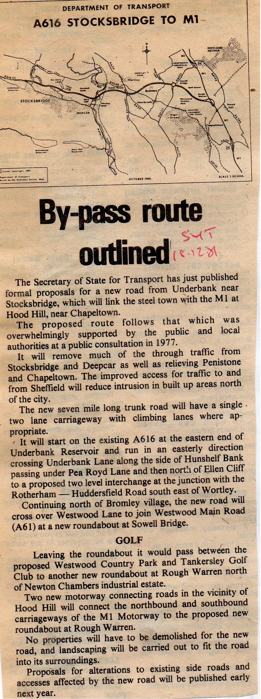
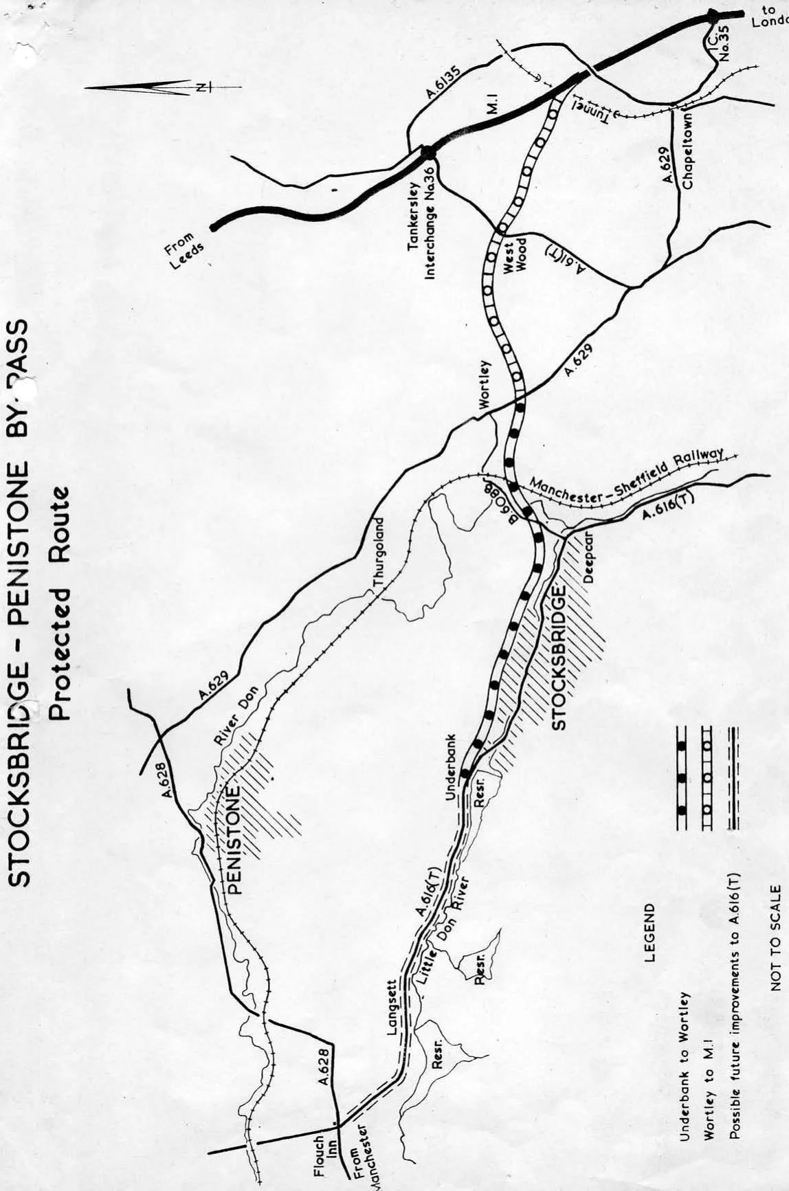
Stocksbridge Bypass: Public Consultation and the Selection of the 'Blue Route' (1978)
An official Department of Transport document from July 1978 detailing the results of the public consultation, which led to the selection and protection of the "Blue route" for the Stocksbridge Bypass.
This document, a Statement of Results from the Department of Transport (July 1978), details the outcome of the Stocksbridge By-Pass Public Consultation held in late 1977 and early 1978.
The public was asked to choose between two main alternatives west of Wortley: the Red route (south of Penistone) or the Blue route (along the Stocksbridge Valley).
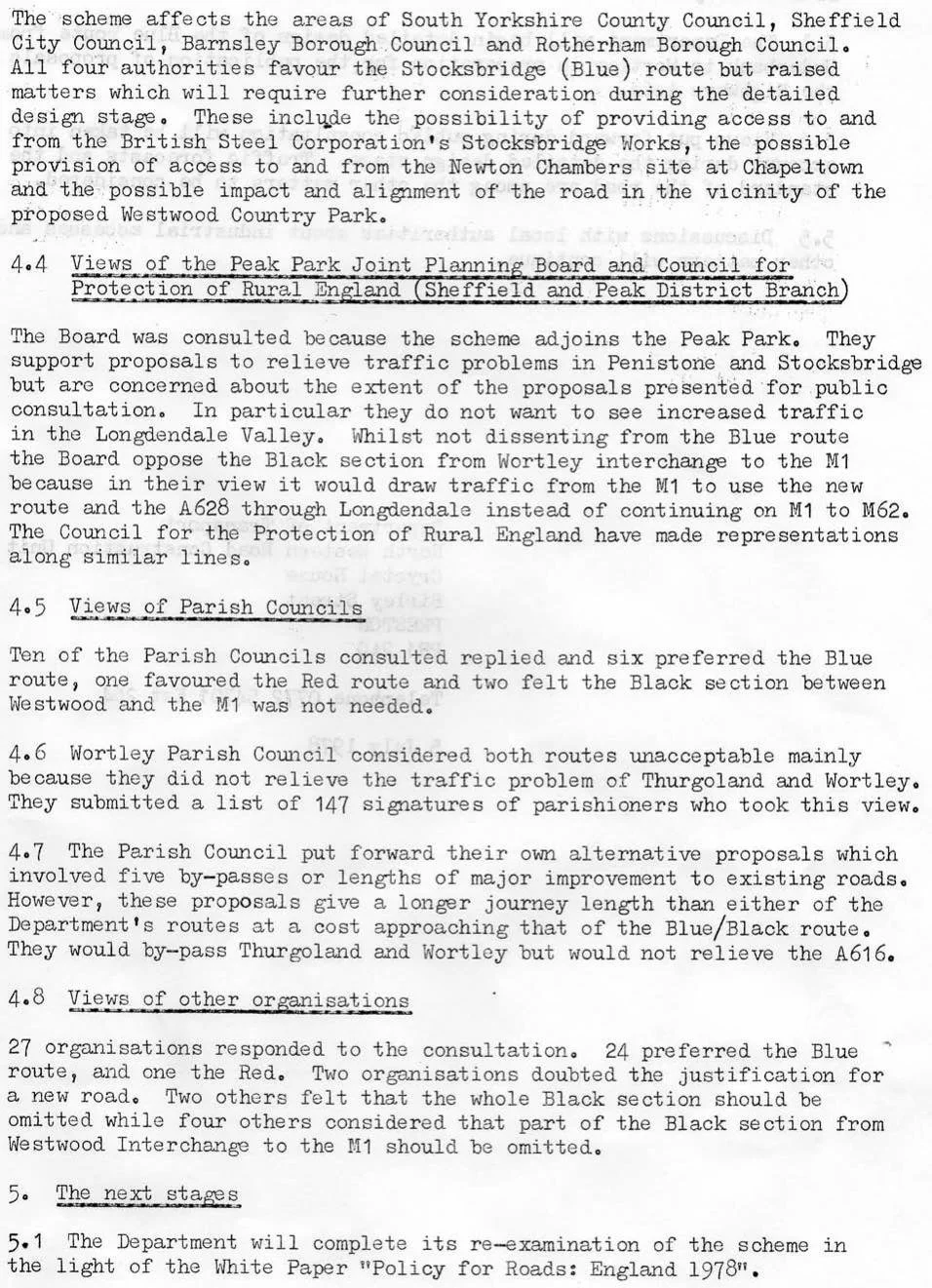
The Secretary of State for Transport selected the Blue route from Underbank to Wortley. The decision was based on the route receiving strong support from local authorities and the public (773 respondents favoured the Blue/Black route) and being less costly than the Red route.
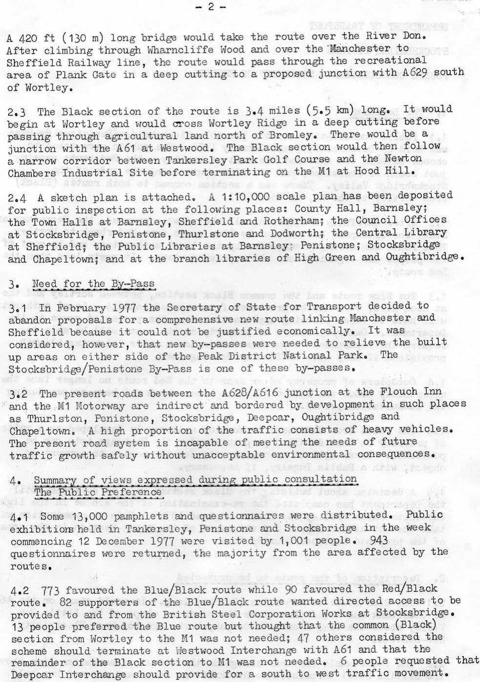
Following the decision, the chosen route (the Blue route plus the common Black section from Wortley to the M1 at Hood Hill) was declared a Protected Route to prevent new development and allow for property purchases under "planning blight" provisions. The Blue route was described as including a 420 ft (130 m) long bridge over the River Don. While the Blue route was accepted, the document notes opposition from groups like the CPRE against the Black section due to its impact on rural land and potential for increasing traffic in the Longdendale Valley.


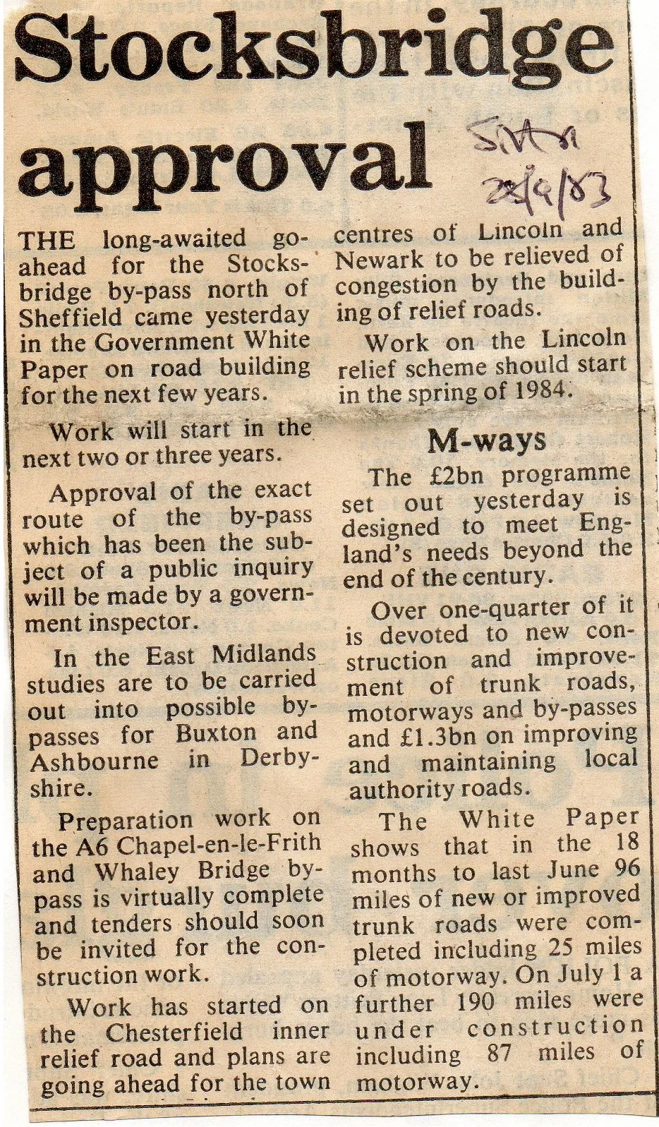
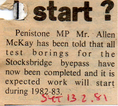
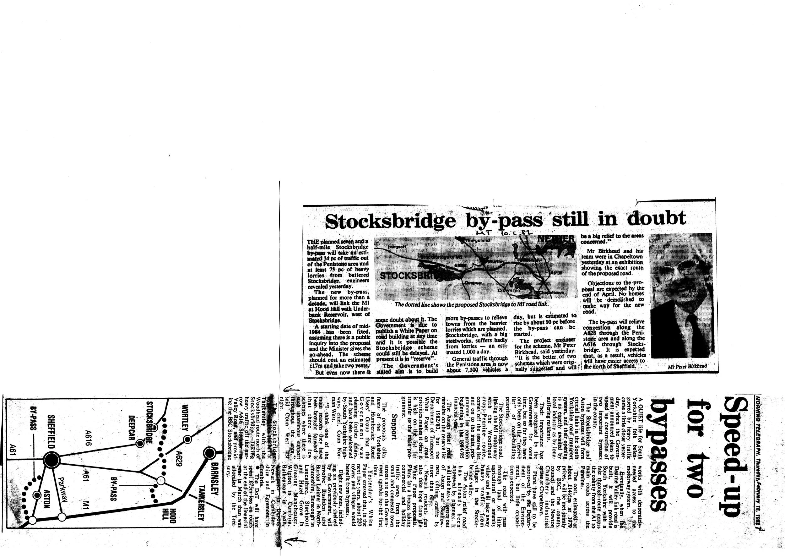
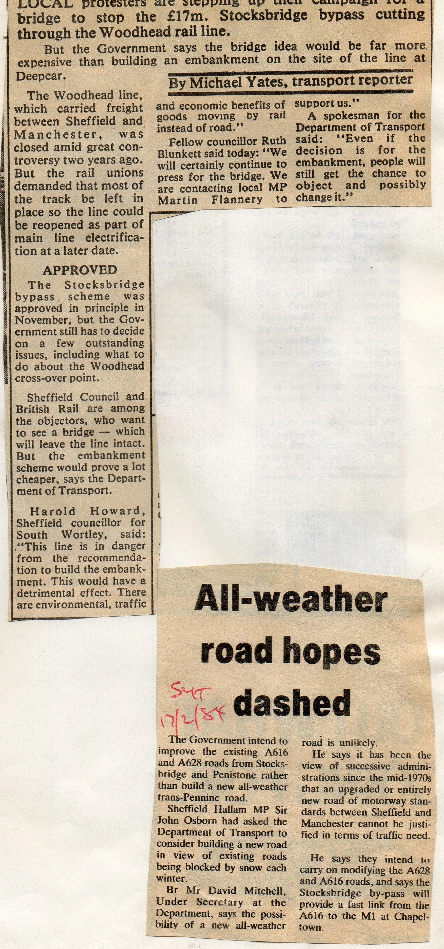
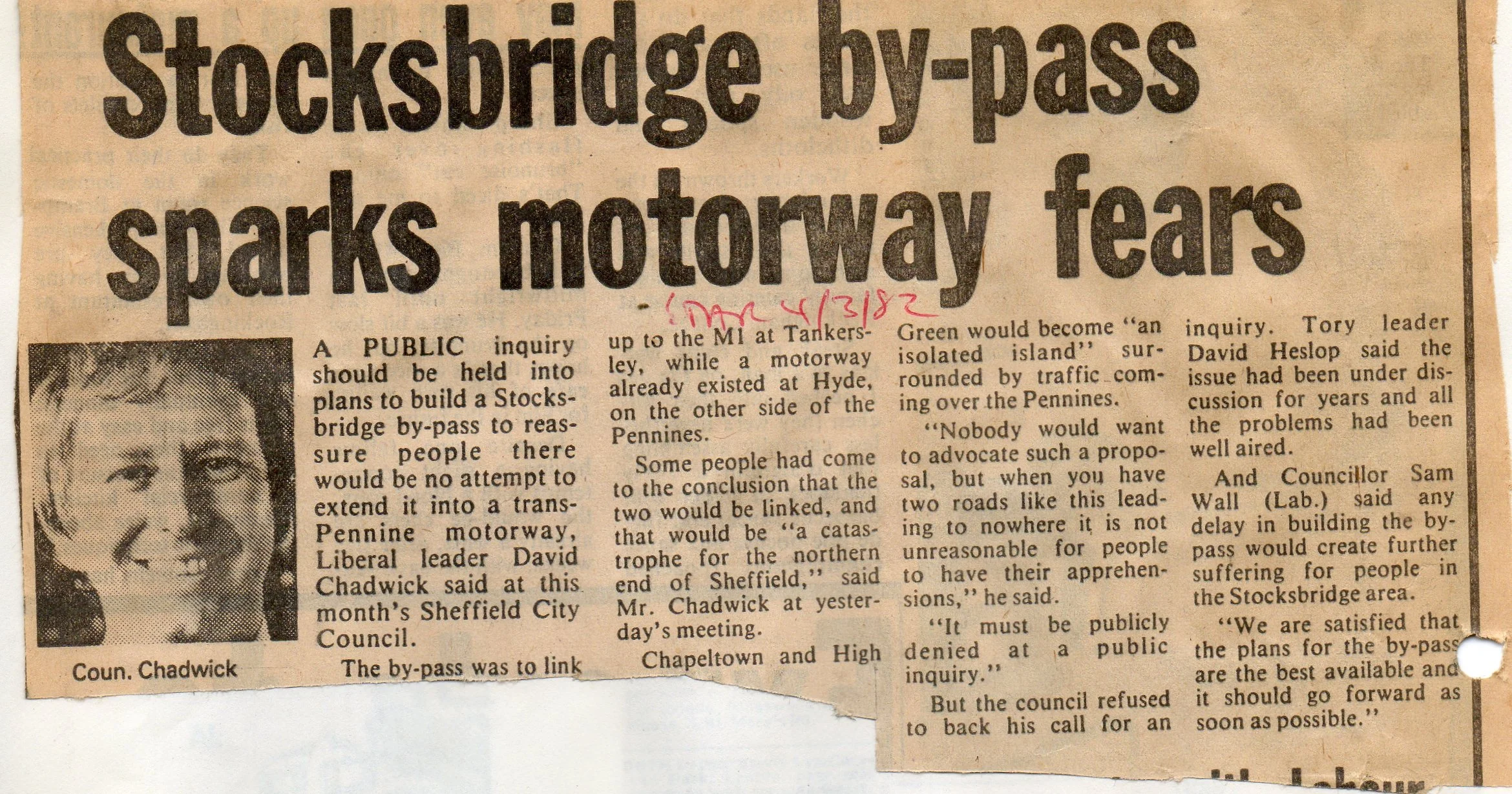
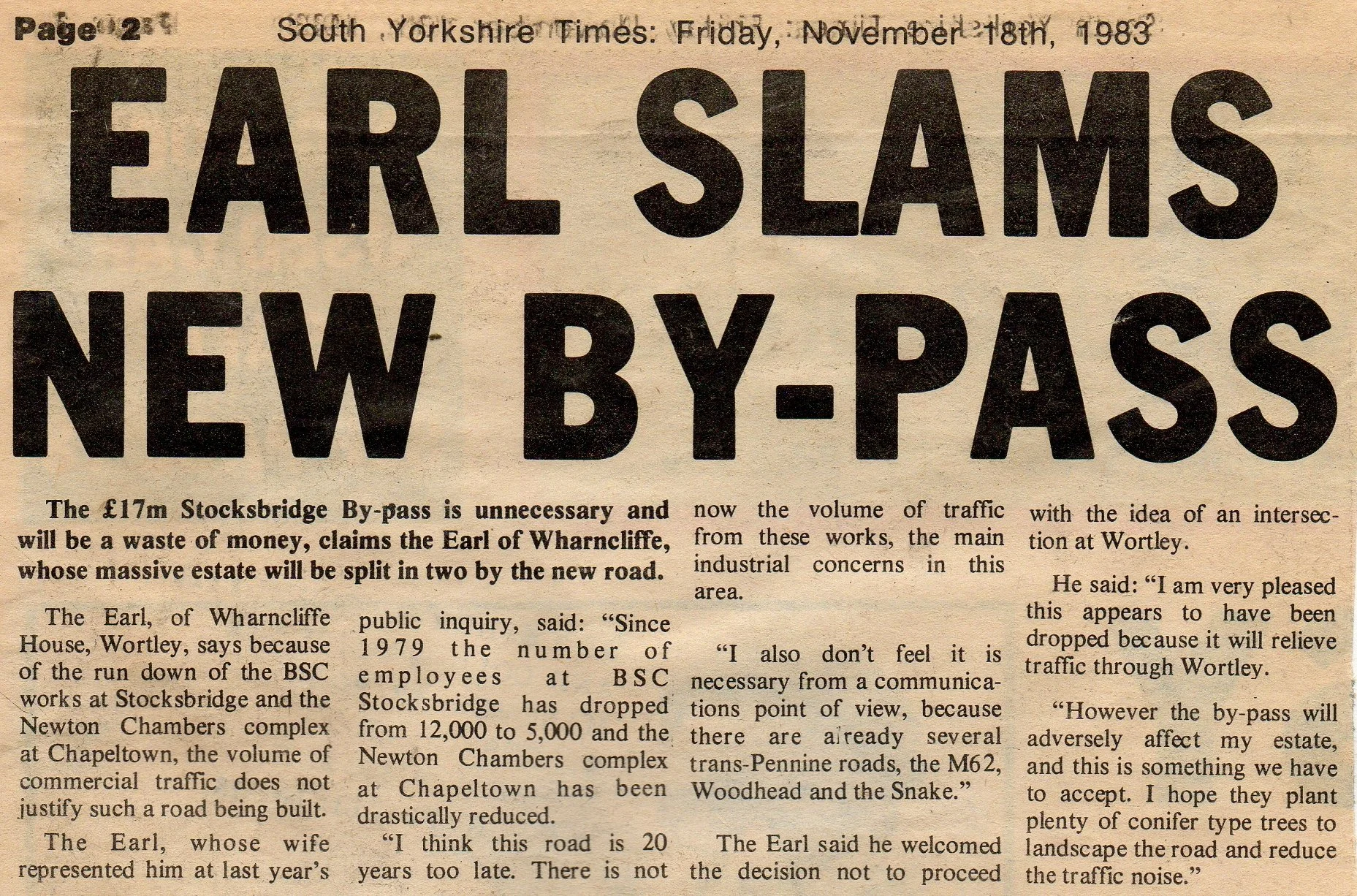
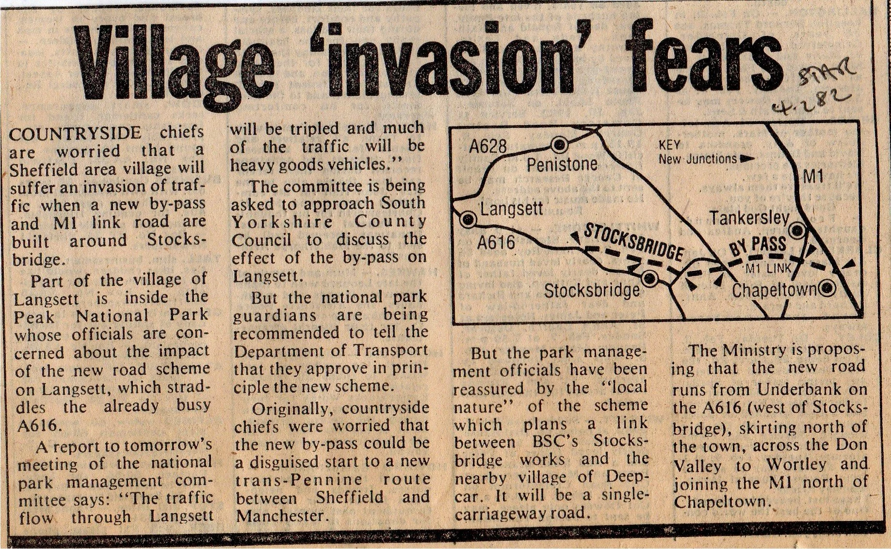
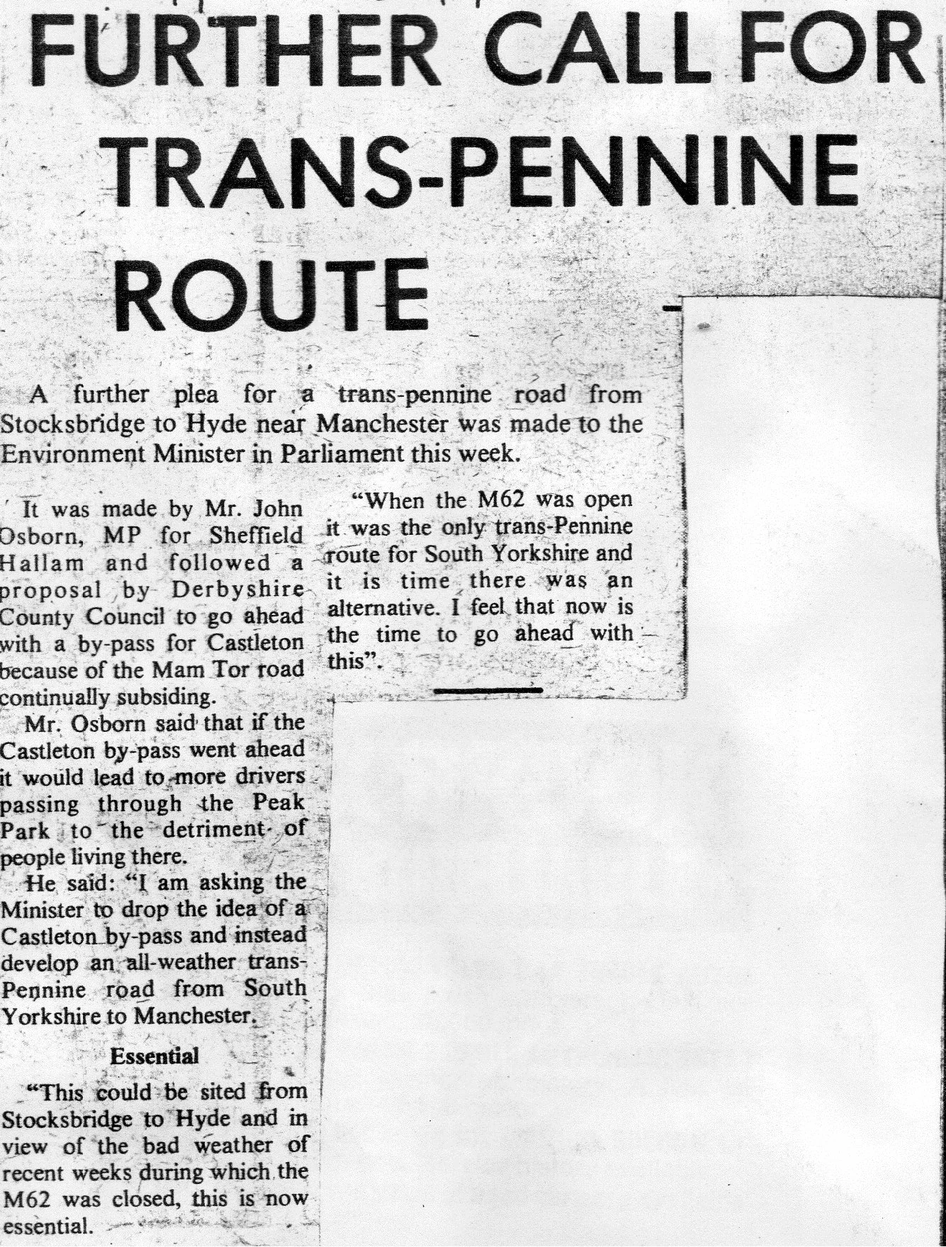
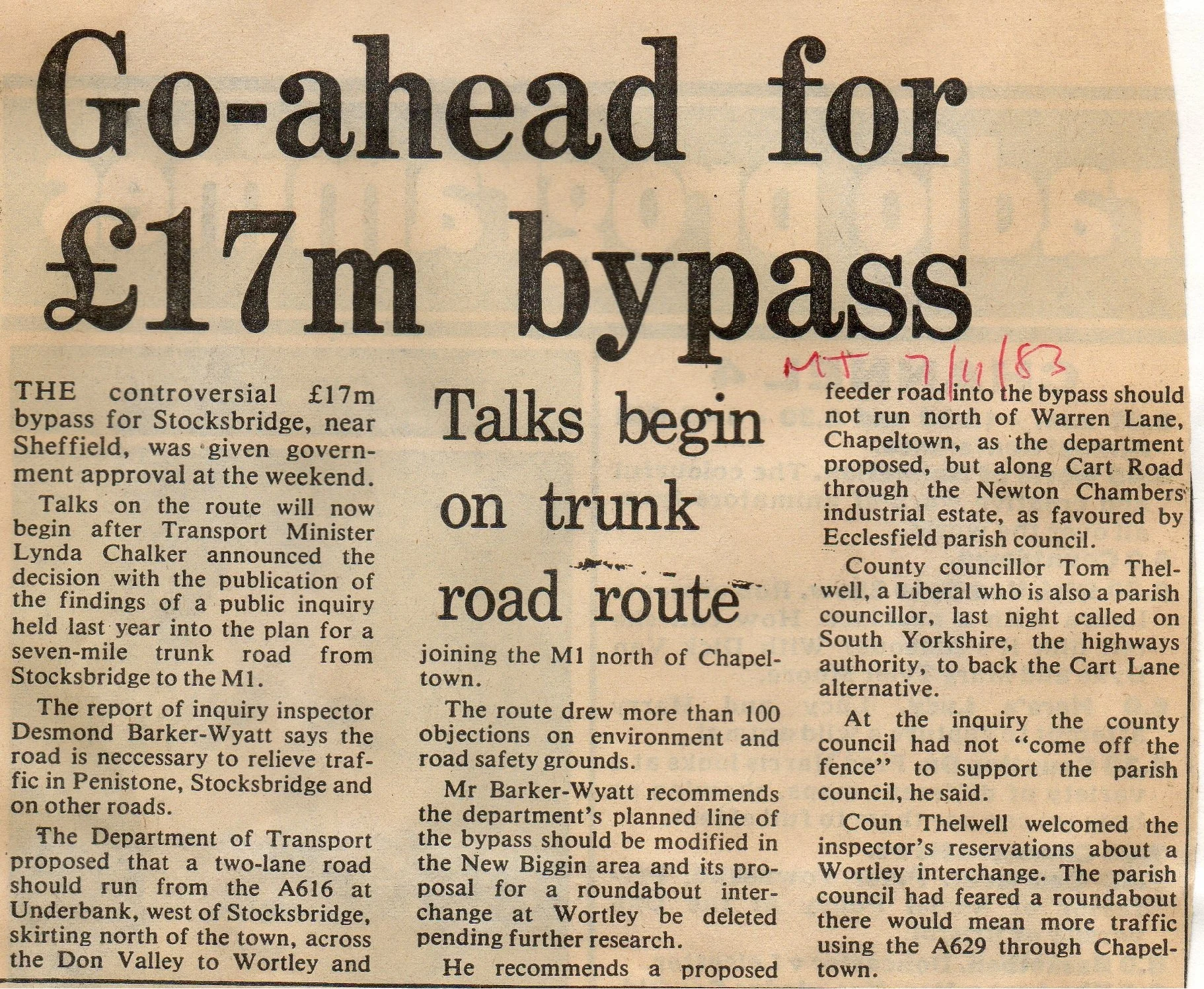
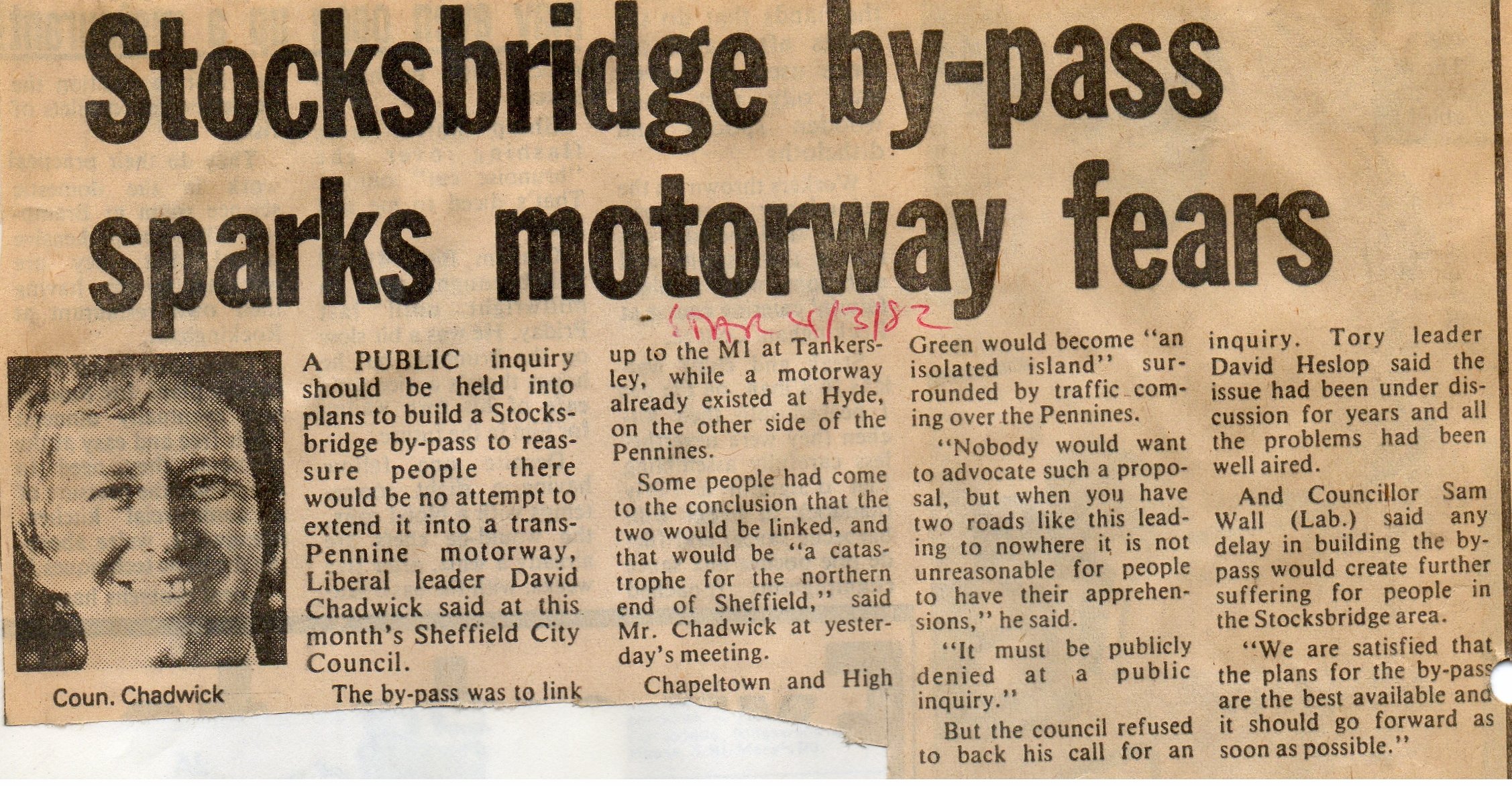
The Stocksbridge Bypass Debate: Newspaper Coverage of Route Selection, Public Inquiry, and Local Opposition (1978-1988)
An archived collection of newspaper clippings covering the controversial Stocksbridge Bypass (A616 to M1) from its initial proposal through the 1982 Public Inquiry, highlighting the intense debate over the route's impact on local scenery and farming.
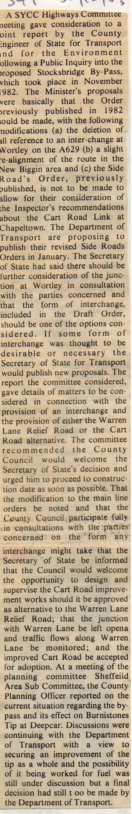
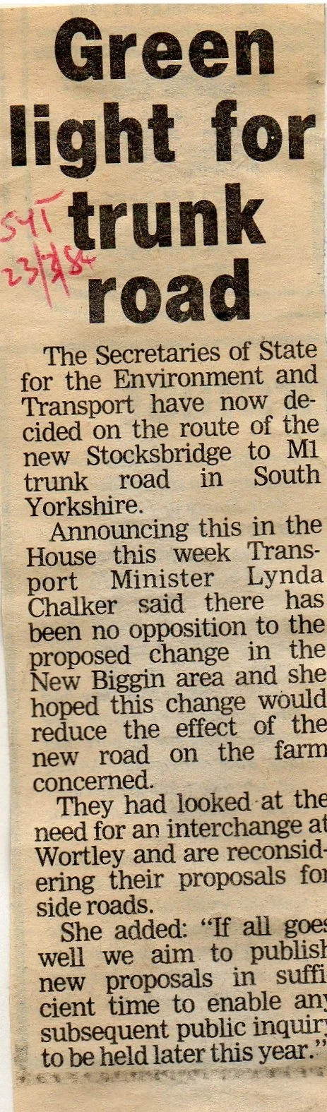
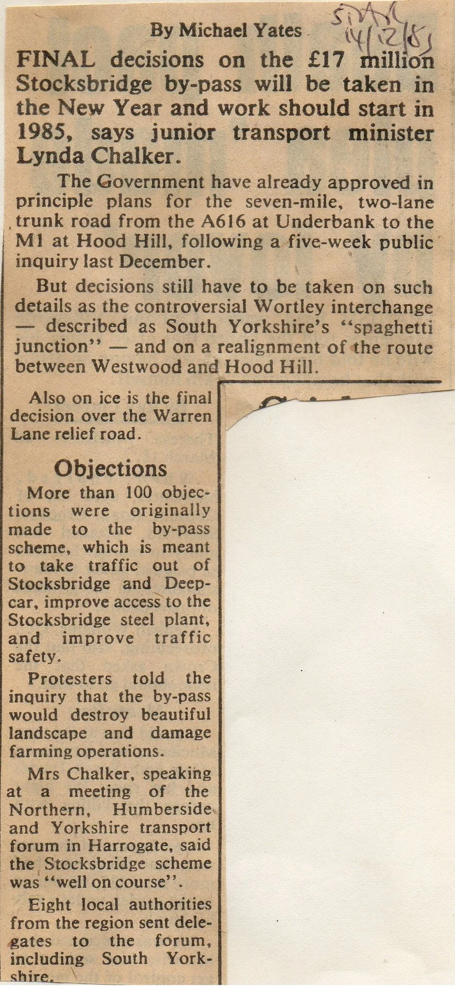
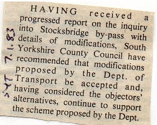
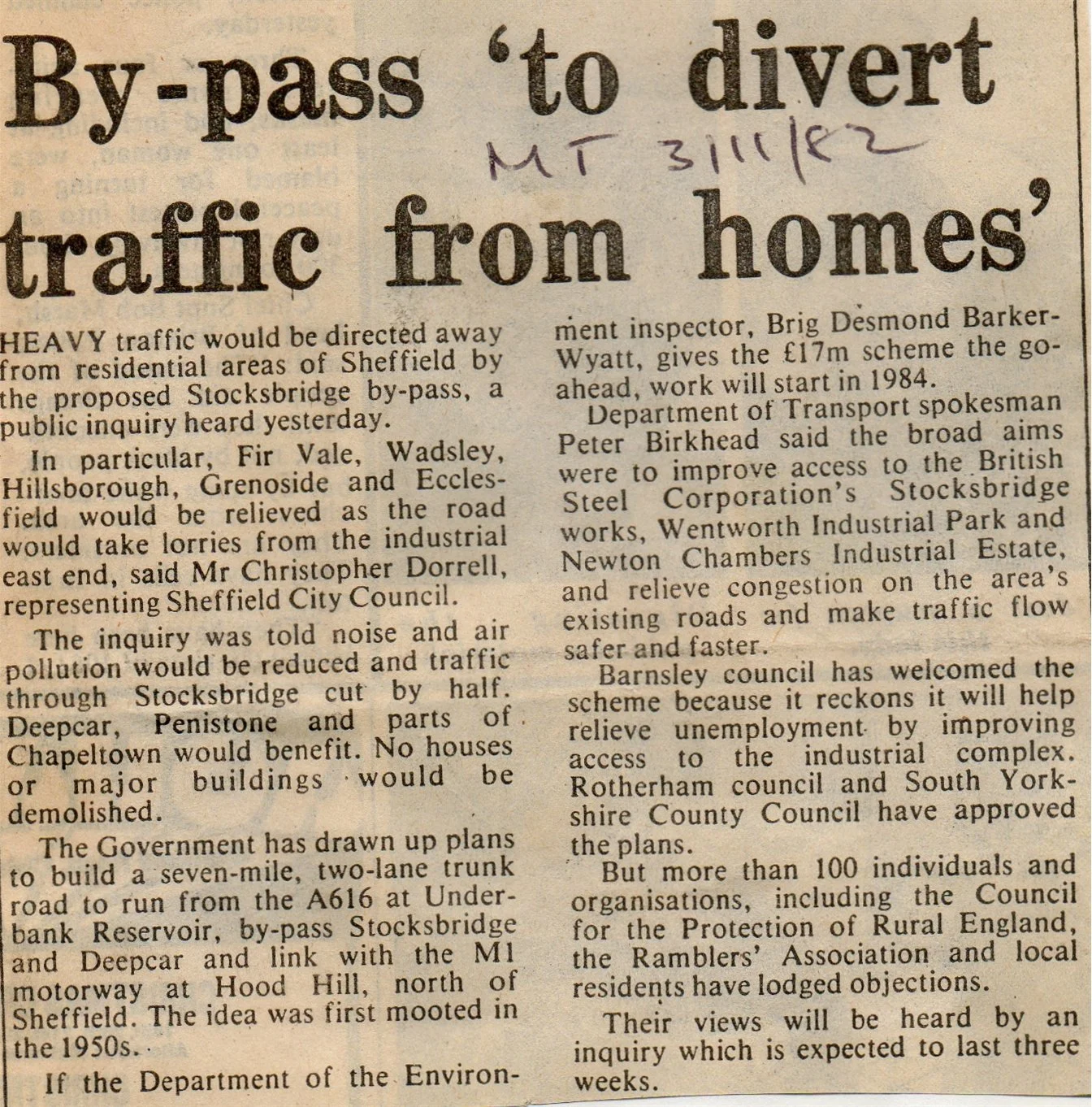
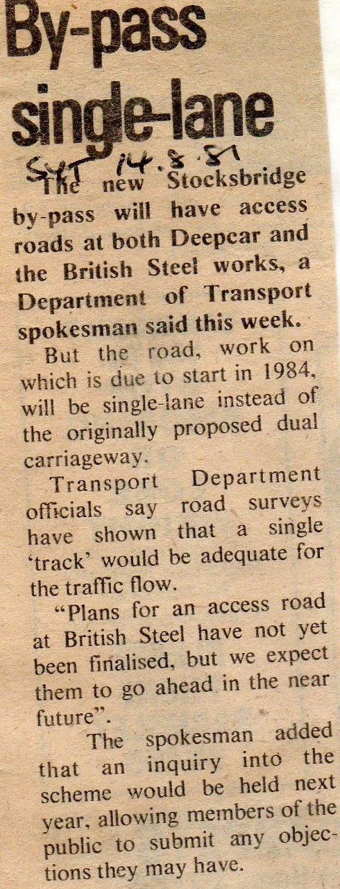
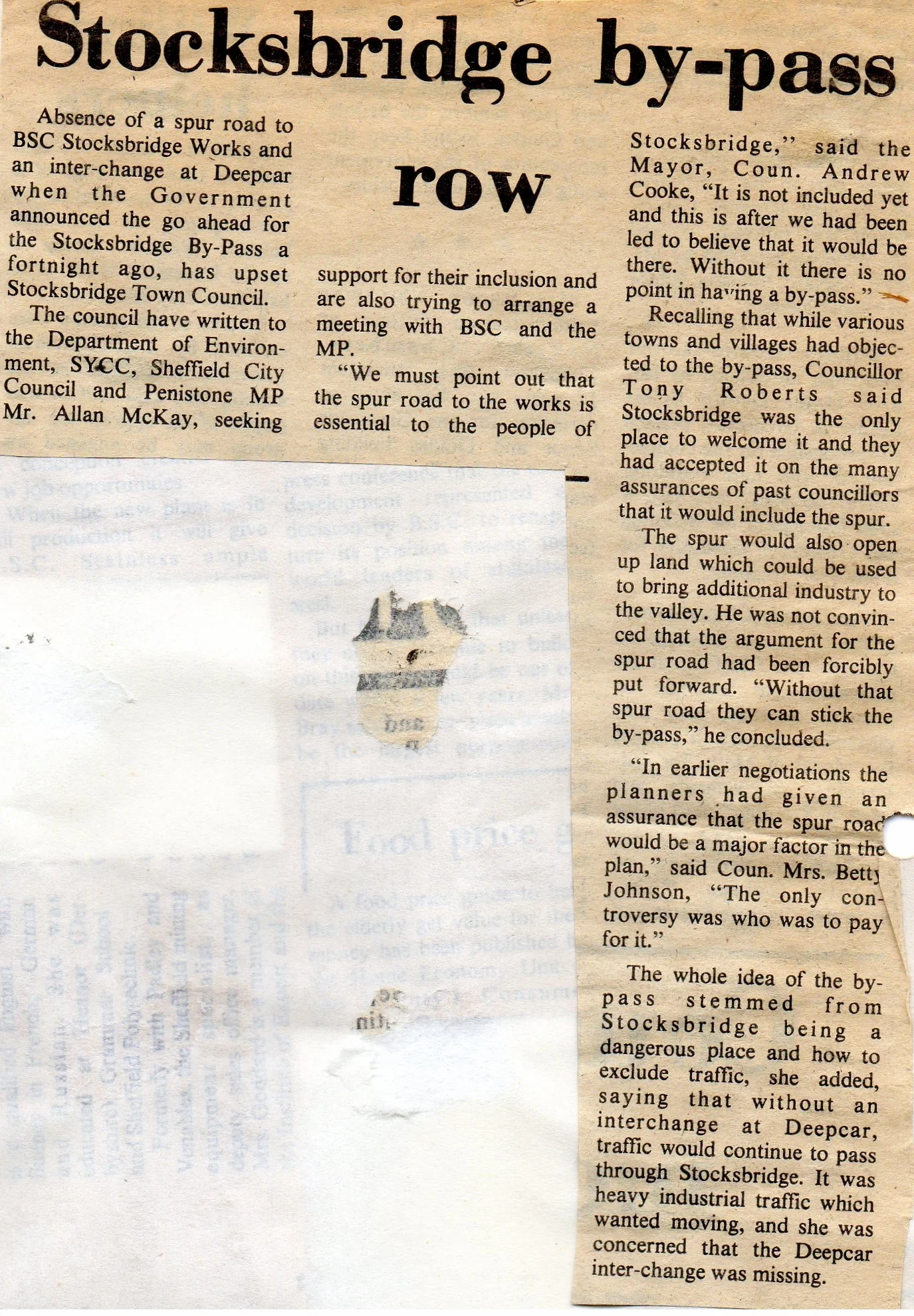
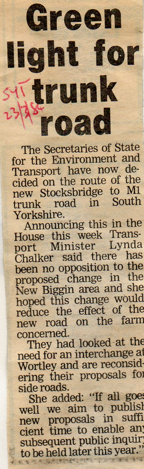
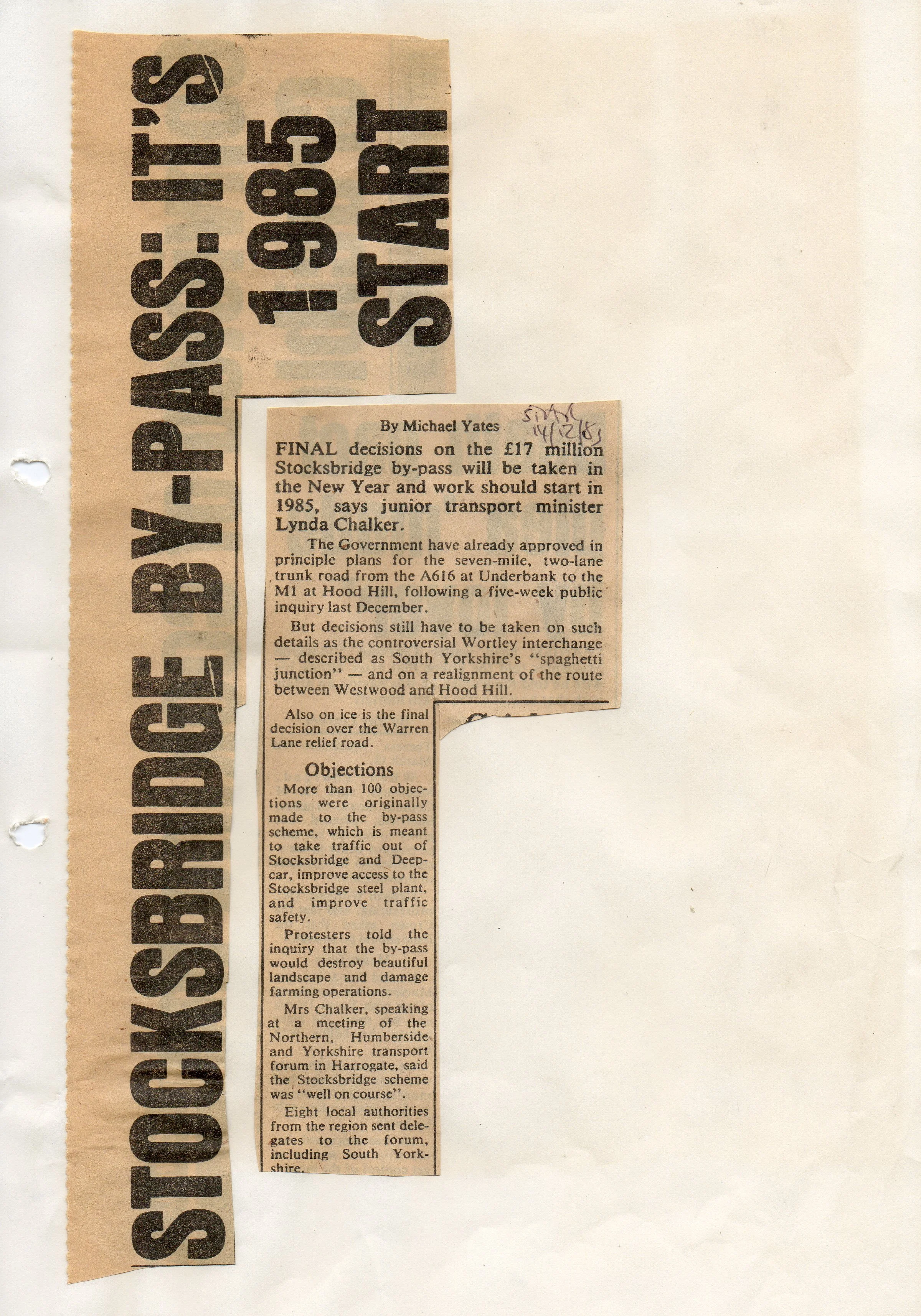
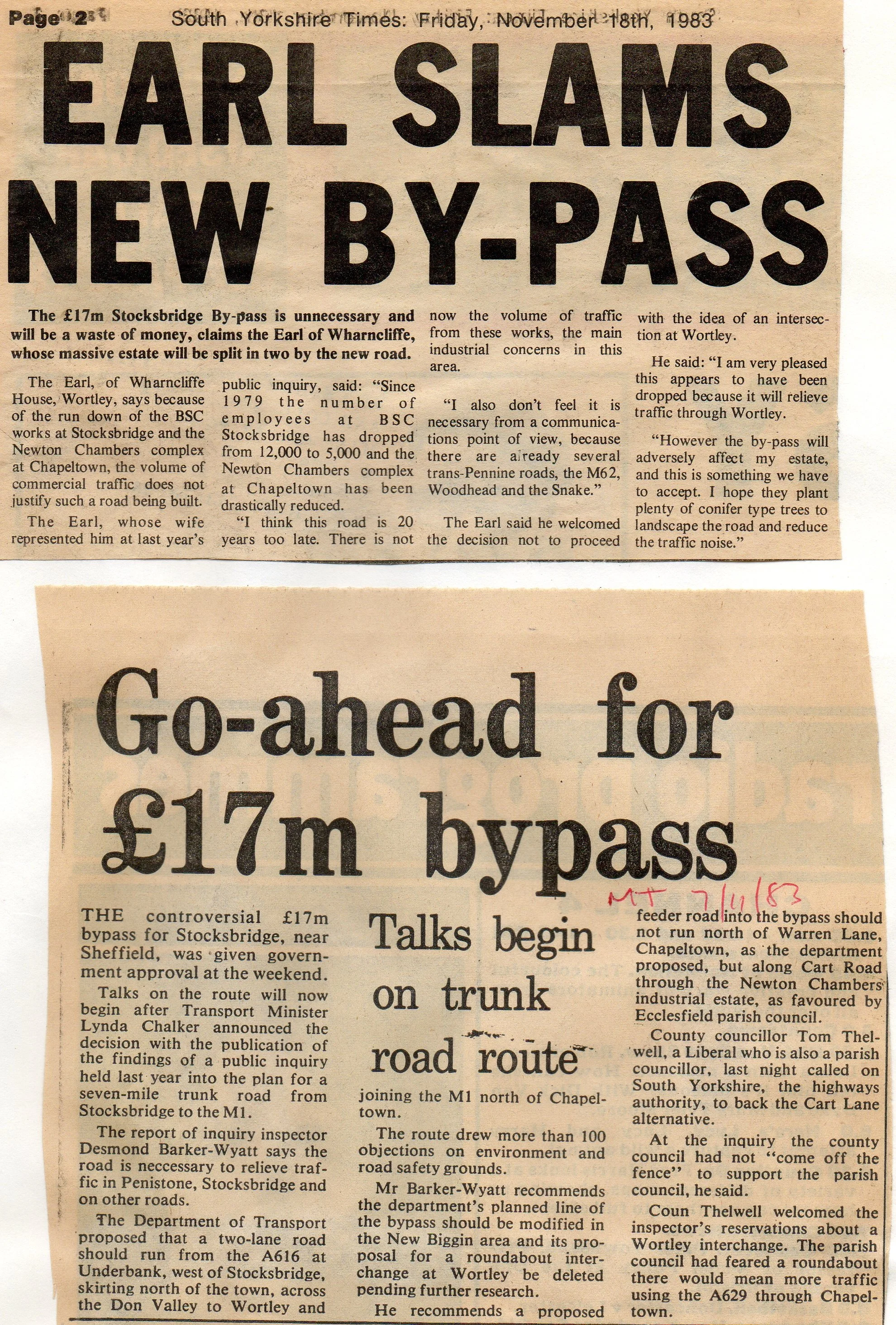
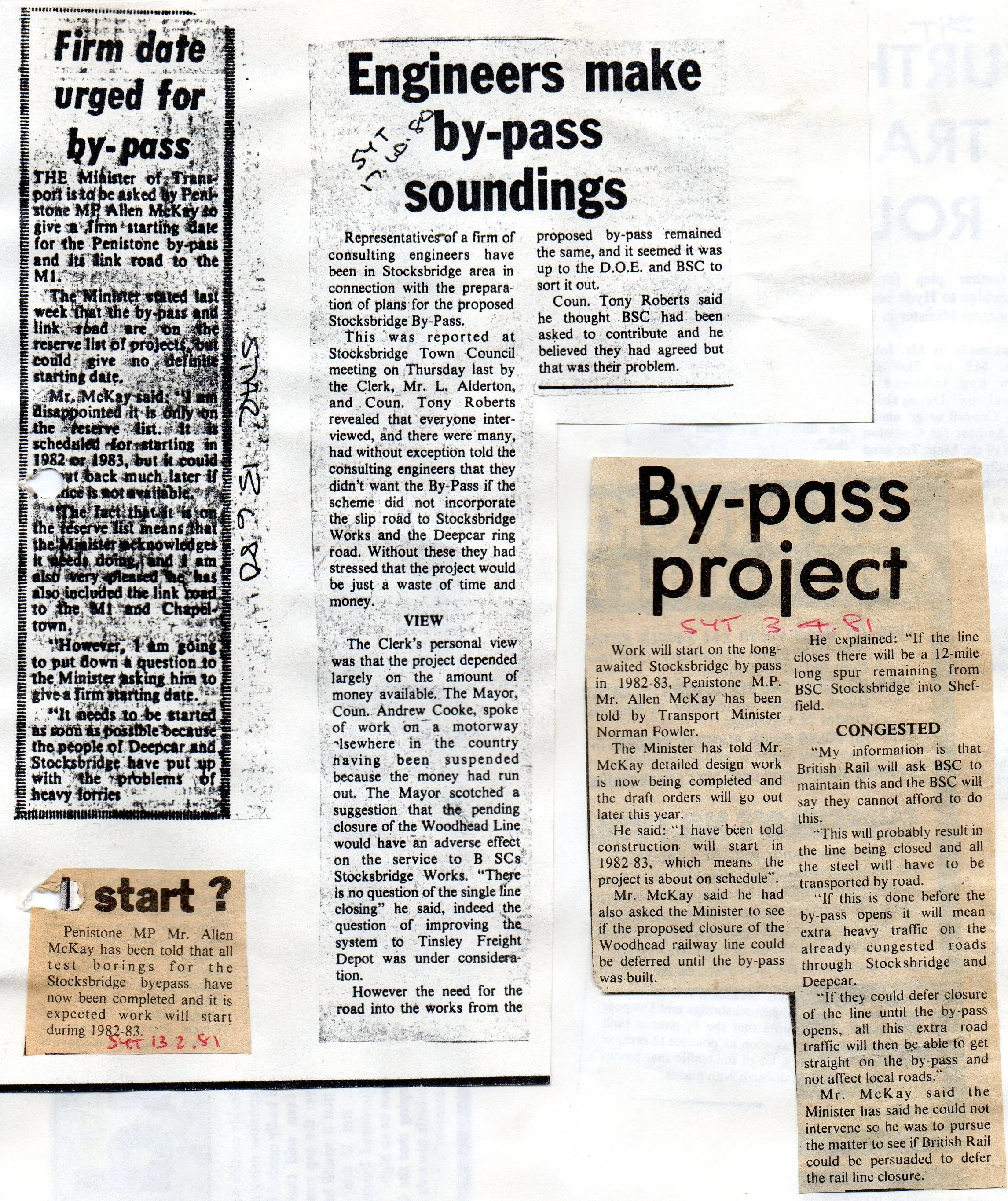
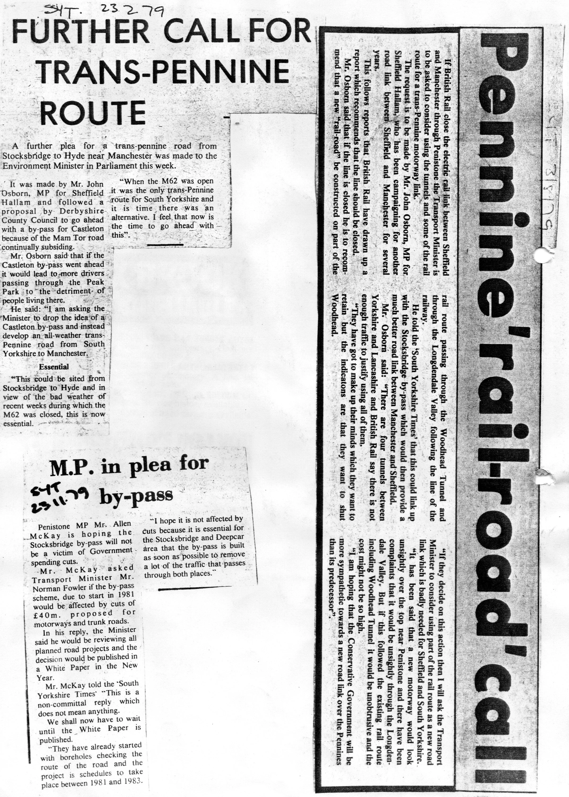
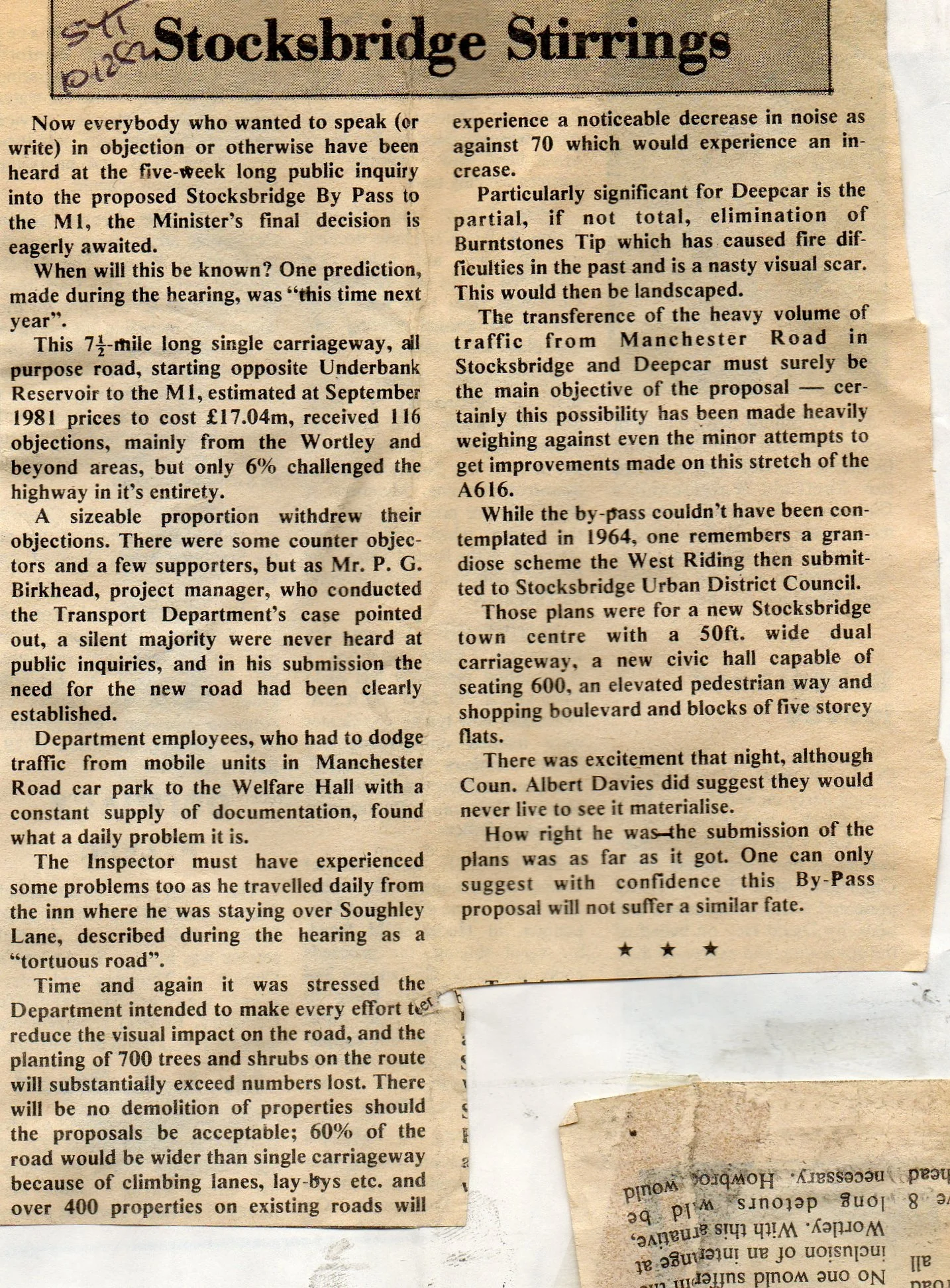
This archival document is a collection of local and regional newspaper reports detailing the planning and controversies surrounding the multi-million-pound Stocksbridge Bypass project (A616 to M1) from the late 1970s to its scheduled 1988 opening.
The clippings provide an in-depth view of the extensive five-week Public Inquiry held in 1982, which addressed over 100 objections to the seven-mile Trunk Road scheme.
Key points of contention covered include:
Environmental Impact: Strong opposition from groups like the Council for the Protection of Rural England (CPRE), who argued the road would destroy some of the finest scenery in South Yorkshire.
Design Details: Local concerns were raised over key features, particularly the highly controversial proposed Wortley interchange, which one resident labeled a "spaghetti junction".
Traffic Aims: Supporters, including local councils, defended the plan as essential for relieving congestion in Stocksbridge and Deepcar and improving access to the Stocksbridge steel plant and industrial estates.
The collection confirms the Government's approval of the route and its modifications following the inquiry, marking the end of a protracted local battle over a vital piece of infrastructure.